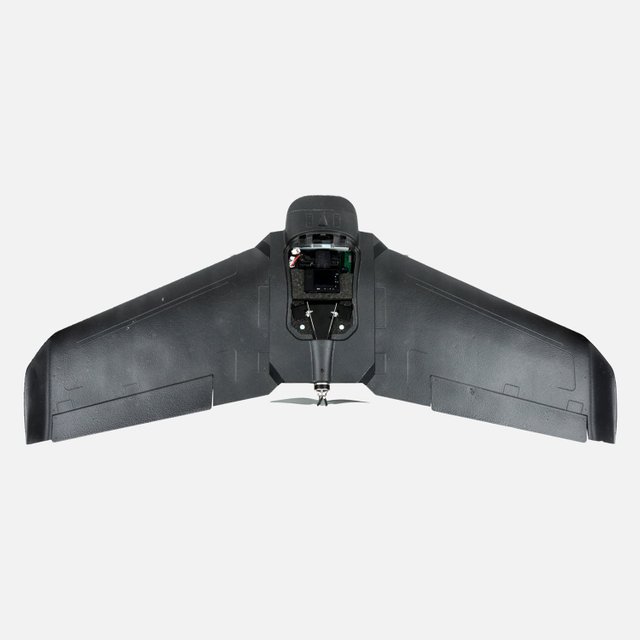
DroneePLANE - The Professional Surveying Drone
DroneePLANE
The Professional Surveying Drone
Screenshots

 View Image | 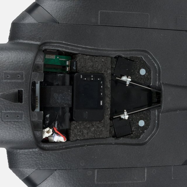 View Image | 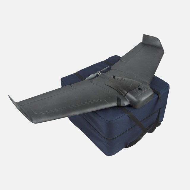 View Image | 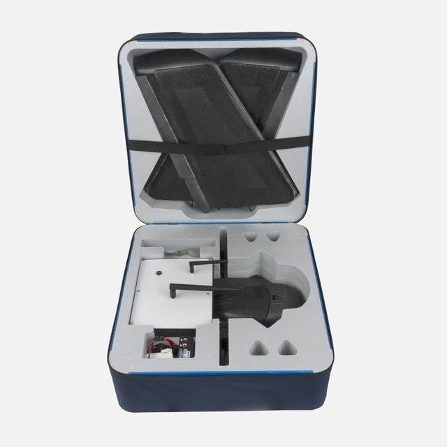 View Image | 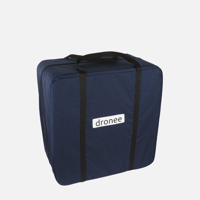 View Image |
|---|---|---|---|---|
Hunter's comment


DroneePLANE is designed for The Professional Surveying Drone that is already compatible with the iPad app as a soft controller.
No flying skills needed, because there is already an app on the iPad for autopilot settings for mapping the area until it lands itself again.
TECHNICAL SPECIFICATIONS
Weight ------------------------------ ------------------ - ---------- Around. 0.5 kg
payload capacity ---------------------------------------------- - ----------- 0.18kg
Wingspan ----------------------------------- ------------ ------------------
Material 90 cm ----------------- ----------------------- EPP foam, and carbon structure
Propulsion -------------------- ------------------------- Electric brushless motor
Battery --------------------- --------------------------- --------- 12.6 V, 3500 mAh
Bringing case dimension ------ ----------------------------------- 44 x 43 x 30 cm
FLIGHT CHARACTERISTICS
Maximum flight time ---------------------------------------------- - --45 minutes
Optimum cruising speed ----------------------------------- 40-90 km / h (11 -25 m / s)
Range of radio links ----------------------------------------- ----- ------- Up to 5 km
Maximum coverage (single flight) ---------------------------- -10 km² (1000 ha)
Wind resistance -----------------------------------------> Up to 45 km / h (12 m / s)
Accuracy of landing ------------------------------------- -------- Approx. 5 meters
DroneePLANE is also designed to support camera devices Sony, GoPro, sequoia with wifi.
DroneePLANE-The Professional Surveying Drone
How to make survey mission with Dronee Plane
Link
https://dron.ee/pages/droneeplane
Contributors
Hunter: @putrapetir

This is posted on Steemhunt - A place where you can dig products and earn STEEM.
View on Steemhunt.com
Excellent hunting @putrapetir, is one of the best drones I've seen so far. Below I will leave my personal opinion about this product.
Pros:
Cons:
Thanks for feedback @mariajpf 👍
There is a 2 Hunt Limit Per day, come have a chat on Steemhunt’s Discord
Thank u @chronocrypto :)
My friend is looking for this kind of technology. Finally Found it. I would recommend my friend about this so that he can carry on his survey on the study. Good Hunt
Thats great.. its nice can help @sumanthp :)
Congratulation! Your hunt was ranked in 44th place on 18 Jul 2018 on Steemhunt.
We have upvoted your post for your contribution within our community.
Thanks again and look forward to seeing your next hunt!
Want to chat? Join us on: