My Hiking Adventure Part 05: Maps
For anyone interested in hiking, a map is the bible of the land. Being in a New Zealand suburb surrounded by bushes, forests, national parks I have always been aware of tracks that seemingly disappeared into the foilage not far from my doorstep. I didn't really think anything of it, people that enter these places obviously knew what they was doing, crazy people.
Within 3 weeks I joined Crazies!
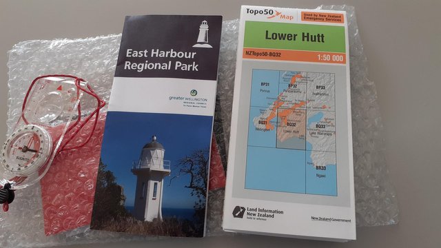
Regional Park Flyer and Topographical Map BQ32
This flyer contains some interesting reading material like
- the history of the area
- photographs with attached discription, showcasing places you would visit
- a simplistic map of the area showing common the tracks
- a brief description of each track
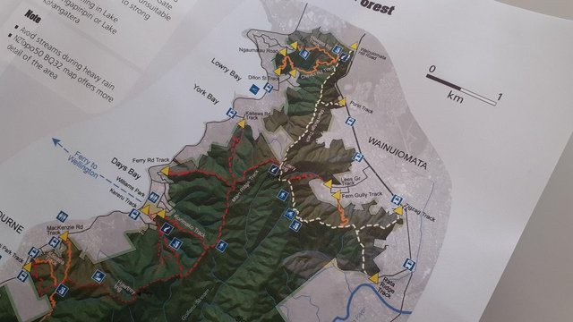
Simplistic Map
- features like map boards
- outdoor activities locations (picnic, fishing, viewing point etc)
- track access points (the yellow diamond) at public streets
- how to get to these access points via public transport
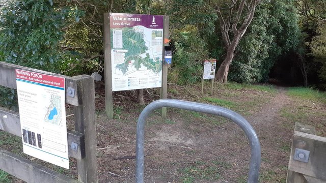
Lees Grove Access Point
This is a typical Access Point with a map board, and container that holds about 6 free flyers. Notice the plastic orange pointer, you will see this on the track at various places until you merge with the main ridge track. Possums are considered a pest here, and various traps are scattered about the region.
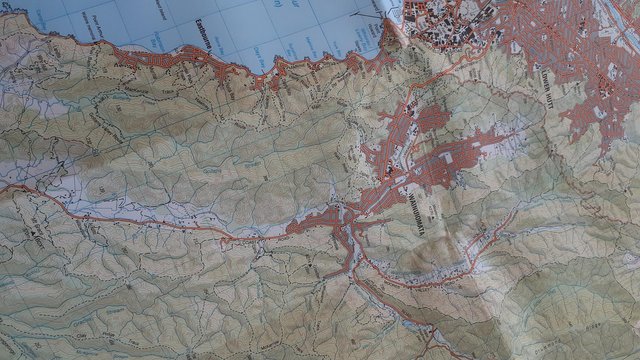
Topographical Map BQ32
The most important map in my mind and at $10.00NZ for a 1:50,000 scale map, they are worth every cent. These maps can be purchased from nationwide retailers like Hunting & Fishing NZ or you can download a TIF image version from Land Information NZ. With the download you can get a better map printed professionally at a more usable scale that only shows the area you plan on hiking in, eg 1:5,000.
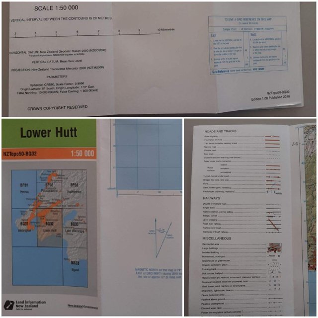
BQ32 Specifics
With each map comes an equally important legend that gives vital information about any area you are travelling in. What is important to remember, with all the tracks shown there are places where they cross into private land where you are not allowed access. These areas are not always pointed out on the map but there is still many more areas you can explore.
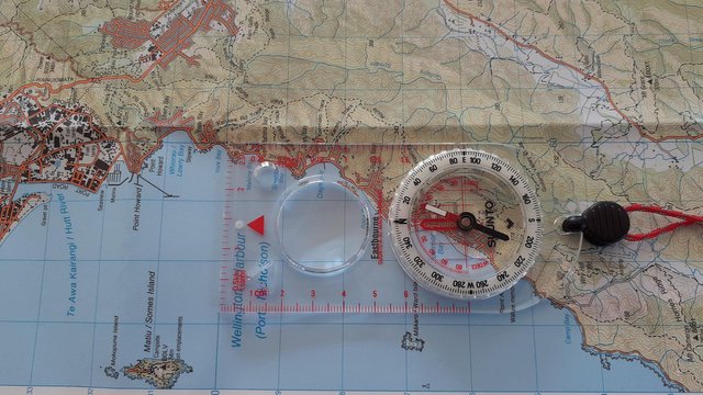
map declination
This topo50 map states MAGNETIC NORTH is 24 degrees EAST of GRID NORTH during 2019. We can use this but to get a more up to date declination I suggest you visit Magnetic Declination which for Wainuiomata gave me 22 degrees 46 seconds. As you can see there was really not that much difference. So when I orientated the map, I lined the horizontal line on the map with the top of the compass, then move the map left until the compass needle points to 23 degrees (the red scale labled EDECL).
Yeah right my eyes are bad, but I'm sure the needle points somehwere between 20 and 30 degrees.
Now the Map is oriented to True North.
| Crypto Support | Wallet |
|---|---|
| ETHEREUM | 0x23Bd7B699383D96513636bf145dCc272a1502076 |
| STEEM | 0x4493de75192e5210091c71506465E31BF5038338 |
| BAT | 0x6fE7EC6B8bB98210468a15B3235abC80edB70b3d |
- with every post comes experience, as we all strive to do better.
- curate/up vote, let's encourage and inspire each other.
This post was shared in the Curation Collective Discord community for curators, and upvoted and resteemed by the @c-squared community account.
If you are a community leader and/or contest organizer, please join the Discord and let us know you if you would like to promote the posting of your community or contest.
@c-squared runs a community witness. Please consider using one of your witness votes on us here