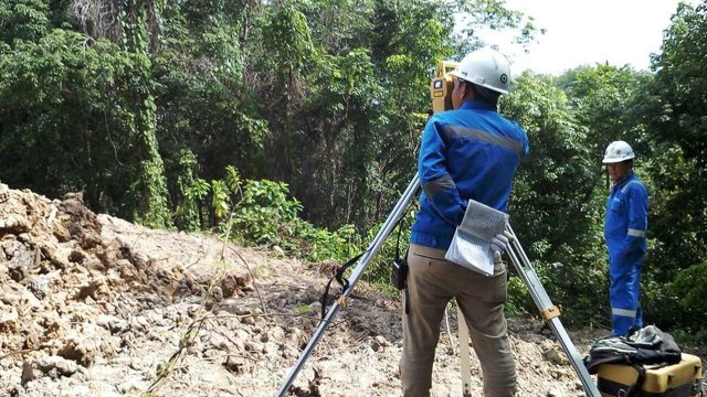
SURVEY PREPARATION
Hi steemian, after in the previous post we discuss the definition of the survey, let's now discuss the preparation steps undertaken before conducting the survey.

- Stage of Preparation
This stage is the beginning of the design activities to be performed. The survey preparation stage serves to provide an overview of what will be done during the field survey to run smoothly and in accordance with the schedule that has been made. The following is the preparation stage of the survey which will be conducted for the work area, namely:
- Delineation of work area;
- Identification of work area;
- Determining the goals and objectives to be reviewed;
- Determination of theoretical studies as the basis for the preparation of reports;
- Preparation of data needs tables;
- Formulation of area permit;
- Preparation of timeline, activity schedule and determination .of survey equipment;
- Determination of surveying area based on potential work area;
- Division of field assignments;
- Determination of communication and information structural.
- Checking and bending of land boundaries
The most basic thing is to ensure that the land being carried out is in accordance with the location stated in the Contract and Land Certificate owned by the Owner, as all references to the building's placement and its infrastructure must refer to the correct land boundaries.
As for Steps inspection and bordering of land boundaries are as follows:
Ensure that the land boundary, at each corner of the perimeter of the land in accordance with the National Land Agency data - if it is not already available, should be asked by the management of the area to install land boundaries in accordance with their data;
If the existing peg is not permanent (not casted) or unprotected, it should be marked with a cast and attach a boundary point with a nail mark embedded in each peg and protect the stakes with a good perimeter and easily monitored (from bamboo or kaso and marked with colors or flags or other visible signs);
After it is ensured that all perimeter pegs are appropriate, Minutes of Joint Survey already authorized with relevant agencies and Supervisory Consultants or Owners shall be retained and shall be the basis of reference of all subsequent measurements;
The boundary point of the land and the perimeter line are plotted into the drawing and cross-checks whether they match the limits given in the design drawings or construction drawings - if there is a difference it should be reported to the Consultant to make adjustments to the design drawings;
Create the main benchmark (BM) benchmarks connected to all perimeter corners of the land in undisturbed locations during project execution and plotted on implementation drawings, and serve as the initial reference for stacking out the buildings to be implemented;
If necessary, borrowing can be made to facilitate the implementation of subsequent measurement and pegging.
that's some preparation before the survey is done, as usually for those of you who have suggestions and even constructive critic feedback, please comment 😁 if interesting and useful, please vote 😊
Pegging is a crucial part of any construction work. It determines the future of any construction. Well, you don't want your house miss a few deg rights?
of course the peg is very important, but the peg in this discussion is as a sign or reference for the erection of the main peg foundation.
saya berpropesi sama seperti anda .
tapi saya lebih fokus di laboratorium jalan raya
kalau begitu, kita dapat saling berbagi ilmu dan pengalaman dibidang yang sedang kita geluti.