My Proposed Icon For MAPS AND GPS NAVIGATION-OSMAND
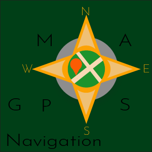
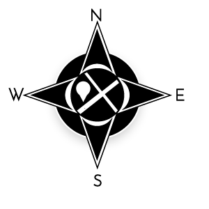
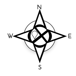
This is my new icon design for Maps & GPS Navigation (Worldwide and high-Quality offline maps.) which I designed through the use of Adobe Illustrator CC 2017 version.
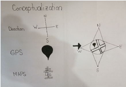
Conceptualization
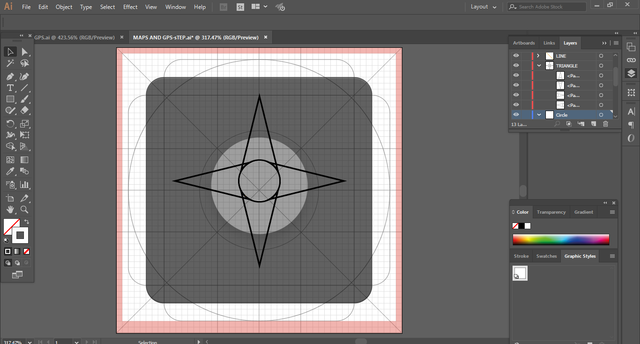
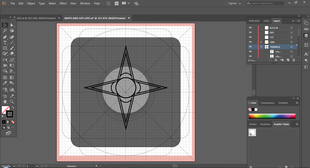
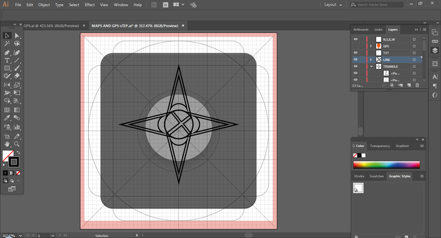
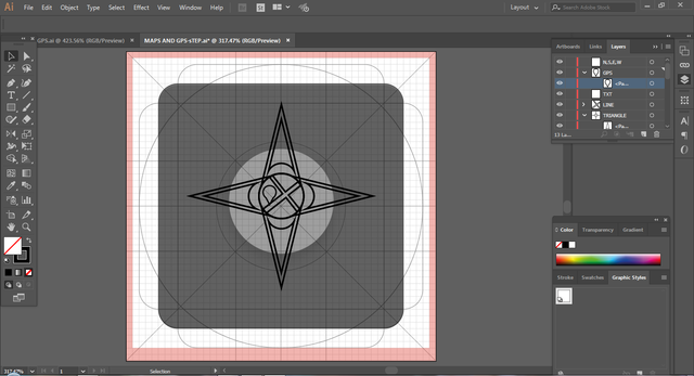
I used Different symbol to represent the uses of the application
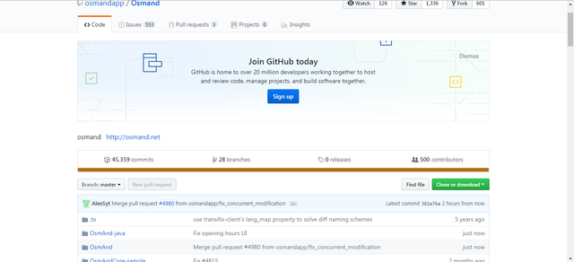
Github Repository
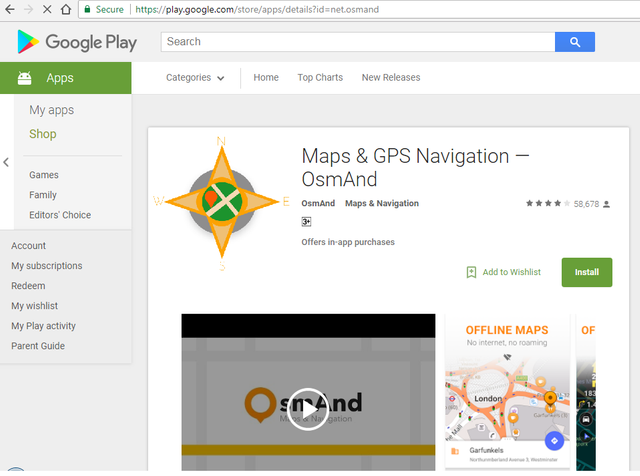
ICON COMPARISON
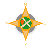
My proposed icon can clearly show the uses of the application


ONE COLOR VARIATION
Icon Sizes


APPLICATION LOADING
FONTS
I used Josefin Sans For All The Font Style
ABCČĆDĐEFGHIJKLMNOPQRSŠTUVWXYZŽabcčćdđefghijklmnopqrsštuvwxyzžĂÂÊÔƠƯăâêôơư1234567890‘?’“!”(%)[#]{@}/&<-+÷×=>®©$€£¥¢:;,.*
Benefits / Improvements
It promotes and show the uses of the application and The proposed Icon make the application more Eye-catching.
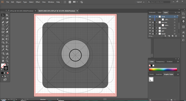
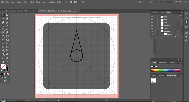
Tools And Procedure
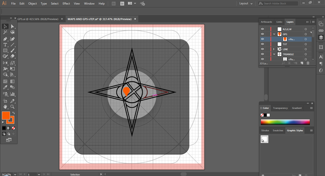
I used Adobe Illustrator CC 2017 version on creating/designing the icon
( )
)
![2.png]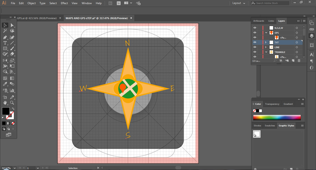
Original files
You can download all the files by clicking the link MAPS AND GPS NAVIGATION
Posted on Utopian.io - Rewarding Open Source Contributors
Thank you for the contribution. It has been approved.
You can contact us on Discord.
[utopian-moderator]
Hey @julstamban, I just gave you a tip for your hard work on moderation. Upvote this comment to support the utopian moderators and increase your future rewards!
Ow!! Thank you for your approval
Thats my first approved icon, thank you., 😇
Ok sir I will provide all the files from internet, thank you
Hey @rnmn1517 I am @utopian-io. I have just upvoted you!
Achievements
Community-Driven Witness!
I am the first and only Steem Community-Driven Witness. Participate on Discord. Lets GROW TOGETHER!
Up-vote this comment to grow my power and help Open Source contributions like this one. Want to chat? Join me on Discord https://discord.gg/Pc8HG9x