Lord Nigel's Travels - A walk across England - Day Six
Today was really easy hiking compared to any other day so far, the terrain was much easier and the ground was mostly soft under feet.
Welcome back...join me as I continue my recount of the time I walked across the whole of England.
It took 16 days of solid all day hiking to travel from coast to coast. My chosen route took me through 3 National Parks, i.e. Lake District National Park, the Yorkshire Dales National Park, and the North York Moors National Park.
If your just starting to follow me and/or considering doing the journey yourself, you can read about the previous day(s) here:
[https://steemit.com/travel/@lordnigel/lord-nigel-s-travels-a-walk-across-england-day-one](Day One - St Bees to Ennerdale Bridge - 25KM)
[https://steemit.com/travel/@lordnigel/lord-nigel-s-travels-a-walk-across-england-day-two](Day Two - Ennerdale Bridge to Rosthwaite - 23 KM)
[https://steemit.com/travel/@lordnigel/lord-nigel-s-travels-a-walk-across-england-day-three](Day Three - Rosthwaite to Grasmiere - 14.5 KM)
[https://steemit.com/travelfeed/@lordnigel/lord-nigel-s-travels-a-walk-across-england-day-four](Day Four - Grasmere to Patterdale - 19 KM)
[https://steemit.com/travelfeed/@lordnigel/lord-nigel-s-travels-a-walk-across-england-day-five](Day Five - Patterdale to Shap - 33 KM)
So for those reading along, I hope these posts are helpful. I noticed there are a few blogs about a simular hike appearing on the internet, but I also notice many don't contain the tips I'm leaving here in my recounts.
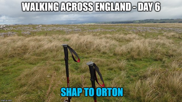
Without further delay here is my recount of an easy Day 6 - Shap to Orton 15KM!!
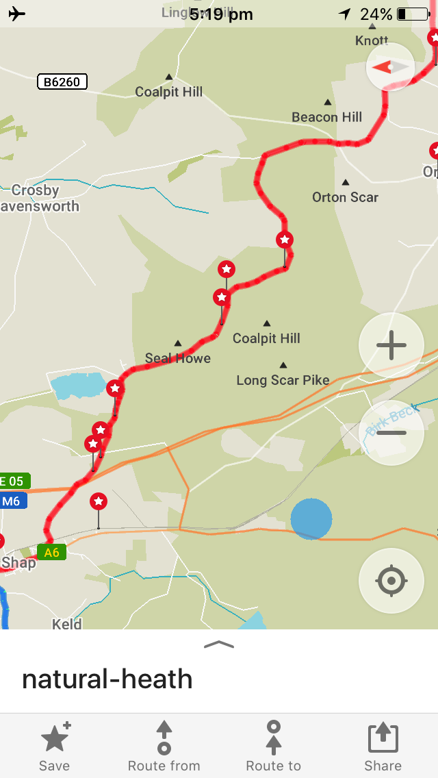
It was a very nice day, the weather was great with just a few sprinklings of rain and the terrain was relatively easy to cross and navigation was also relatively easy with me making only one minor, but near fatal mistake :); below is a snapshot of my map and set path:
The majority of the day was large open marshy bog lands, I suspect it would be a little easier going if it hadn't had seen so much rain these past few days, but if you walk on the edge of the path for the majority of the way it was still very stable and thus easy enough going. I must highly recommend Blister Packs - Blister Packs are a necessity, I swear by them, as soon as you feel a blister don't wait and don't go cheap, you simply must protect your feet to tackle a non stop multi week hike like this.
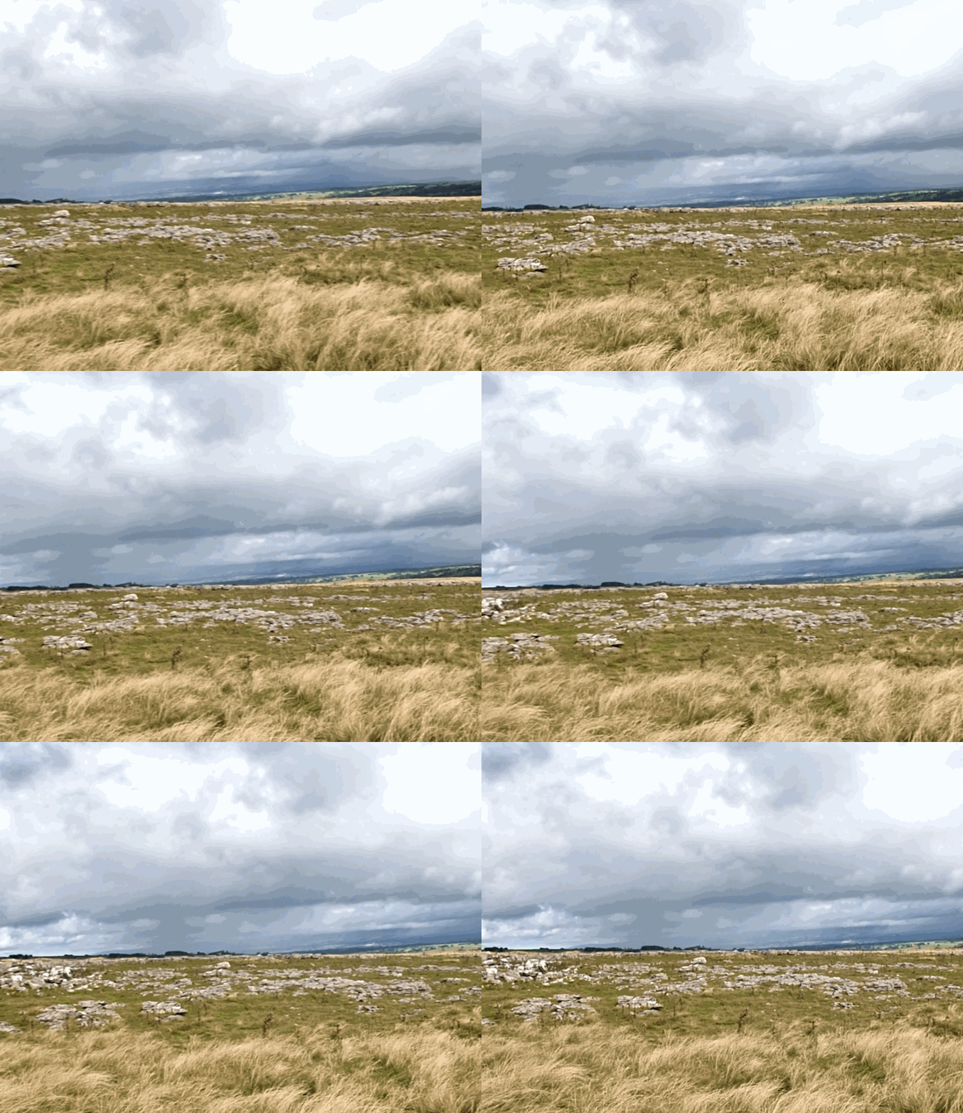
There were a few wooded areas but mostly I remember the large open areas.
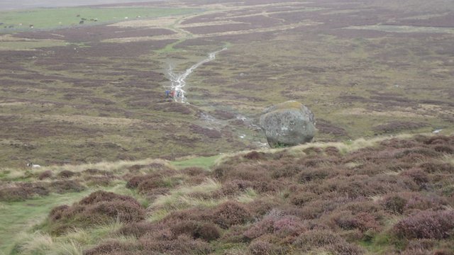
Some huge rocks seem to be sitting in the middle of no where, like this fine example above. The photo doesn't do it much justice, I recall it was just odd to be there with no other rocks around. How did this rock get here?
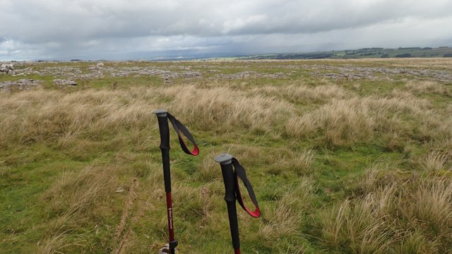
Even on a easy recovery day walk like day 6 there are dangers to be aware of. I approached a fence area along the track and was listening to my Iphone (not really paying attention I just followed the path to look up and see a a huge fence). It was some kind of quarry but the signage wasn't real good, but it looked like the path went over the fence. This seemed a bit unusual and a bit more difficult to climb then any previous so I checked my map on the Iphone. Seemed I had made a wrong turn and the path had actually diverged 100 metres back or so. So yeah, I did the wrong thing thing I hopped the fence and created my own short-cut to get back on track; this was a mistake and could have proven to be fatal. It was an active quarry and private property and the deeper I got in the more warning signs appeared, such as "Danger wear a hat" and "Live detonations and explosives in progress". Some of the ground even looked dodgy like it was going to break away leaving me to tumble into an open pit; Realizing it was getting nasty, I basically made my own track and ran my way to the closest fence out and jumped over it to get back on the trail. I'm kind of crazy doing such a long walk, but I'm not insane. Leaving the quarry I turned to snap this shot below, yeah...moral of the story, don't take shortcuts without checking your map thoroughly.
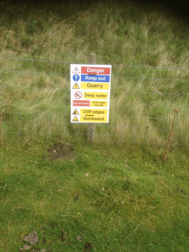
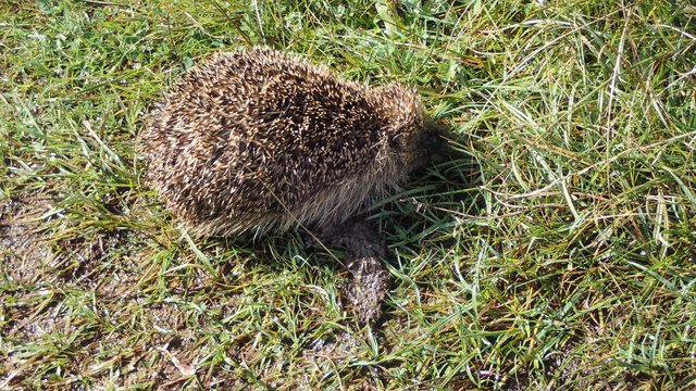
Seems this poor little guy didn't read the signs and take note. Not sure what kind of animal this was?
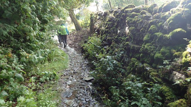
As you get nearer to the town of Orton you connect back with a stream, the path is well defined and walking between the stream and farms walls you can't go wrong.
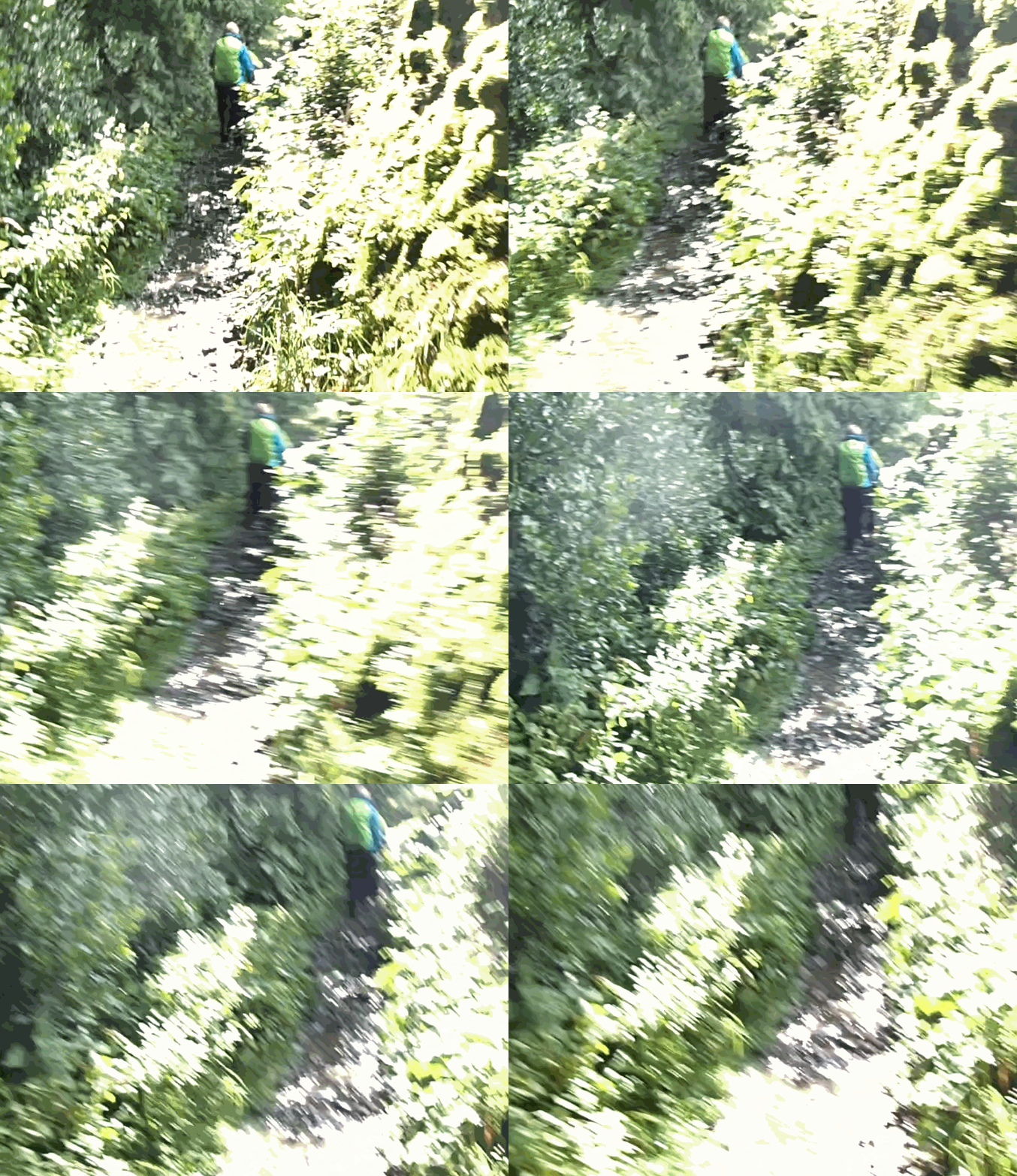
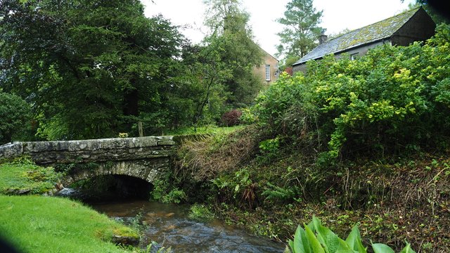
Such a pretty place, built near a river and of course very English bridges.
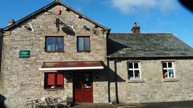
What a beautiful little town Orton is, from it's traditional village pub to the unique chocolate factory.
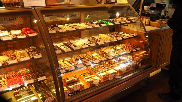
There is a great assortment so its worth trying a few. I dont tend to eat allot of chocolate but with all the calories burned I was able to make a small exception.
The are cafe's to sit and eat, some with books to sit and read and enjoy coffee (if coffee is your poison). There is plenty to do and the town is not very large, making it one of my favourites on the walk. Having such a short walk today meant I arrived just around lunch and spent the afternoon exploring before heading to my little cottage.
It was a perfect choice of accommodation, having a washing machine and dryer and a bonus hot tub - only a deep soaking bath could get the knots out of my calves.
Thus ends my recount of day 6 - if you would like me to continue with each day of the walk, please show your approval in the usual way - exclusive for Steemians of course :)
View this post on TravelFeed for the best experience.
I see you met a hedgehog. That was actually quite a lucky chance, because they're generally nocturnal.
Oh of course, that's what it was - all I remember is it being dead, possible partially exploded in the blasting!
It was dead?! I couldn't tell from the picture. Might be why it was out in the day. 🤔
Hiya, @lizanomadsoul here, just swinging by to let you know that this post made into our Top 3 in Daily Travel Digest #724.
Your post has been manually curated by the @steemitworldmap team and got an upvote from @blocktrades to support your work. If you like what we're doing, please drop by to check out all the rest of today's great posts and consider supporting us so we can keep the project going!
Become part of the Haveyoubeenhere community:
Congratulations, Your Post Has Been Added To The Steemit Worldmap!
Author link: http://steemitworldmap.com?author=lordnigel
Post link: http://steemitworldmap.com?post=lord-nigel-s-travels-a-walk-across-england-day-six
Want to have your post on the map too?
Congratulations! Your high-quality travel content was selected by @travelfeed curator @smeralda and earned you a partial upvote. We love your hard work and hope to encourage you to continue to publish strong travel-related content.
Thank you for being part of the TravelFeed community!
Did you know that you get larger upvotes when posting through TravelFeed.io? Also, thanks to the travel writing contest by @invisusmundi you can now earn up to 100 STEEM on top of the post rewards when posting through our new platform TravelFeed.io! Read the contest announcement for more information on how to participate.
We are continuously working on improving TravelFeed, recently we presented at SteemFest⁴, published our Android app and launched our Steem witness.
Please consider voting for us as a witness. If you're not sure how to do that, it's easy: Head over to our Support Us page and hit the witness voting button to vote with Steem Keychain, or Steemconnect if you are not a Keychain user. Alternatively, use this Steemconnect link or head over to the Steemit Wallet and enter travelfeed in the box.
Learn more about TravelFeed by clicking on the banner above and join our community on Discord.
Poor little hedgehog :<
Um yeh WATCH WHERE YOU'RE GOING XD
Those little towns you keep finding are gorgeous.
Ouch! yeah I feel bad for the little guy, but yeah I learned my lesson - watch where your walking and don't just believe the path.
Thanks :) yeah this particular town was classic country England, I just wish I took more photo's :(