Running The Trail Du Mont Blanc (TMB) in Four Days - Part Two - Chapieux to Courmayeur
](
Come journey with me on one of the most spectacular mountain trails in the world, the Trail Du Mont Blanc.
People from all over the world walk the 168km TMB route every year , taking a week to 10 days to do it.
Then every year you get the folk that enter the UTMB race and try to run it within 46.30hours maximum, they hike the hills and run the descents.
And then you get guys like me that take the easier option of running it all over the luxury of 4 days.
You start in France and go through Italy, Switzerland and then back to Chamonix France.
The trail takes you around the MontBlanc massive, so beauty is Everywhere.
The highest point reached by the standard route is 2,584m (8,478ft) and the height gain (and therefore loss) around the whole Tour is around 10,600m (35,000ft).
My last post describes the start of the journey from La Houches to Chapieux, so picking up from there.
We headed off the following morning from the Refuge Del La Croix Du Bonhomme which had served us well as an emergency shelter for the night. . The descent is endless. When you get to Chapieux, there are no coffee shops there, just one cheese shop, which you can smell from 50 feet away!
So you go left and continue through the village and end up on a road with a few hills, which after a couple of miles leads you off to the right onto a track that starts to gradually climb to the Col De Seigne, the Italian/ French mountain border.
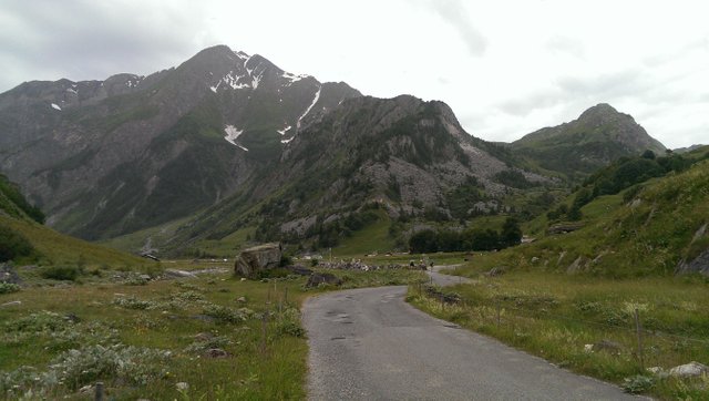
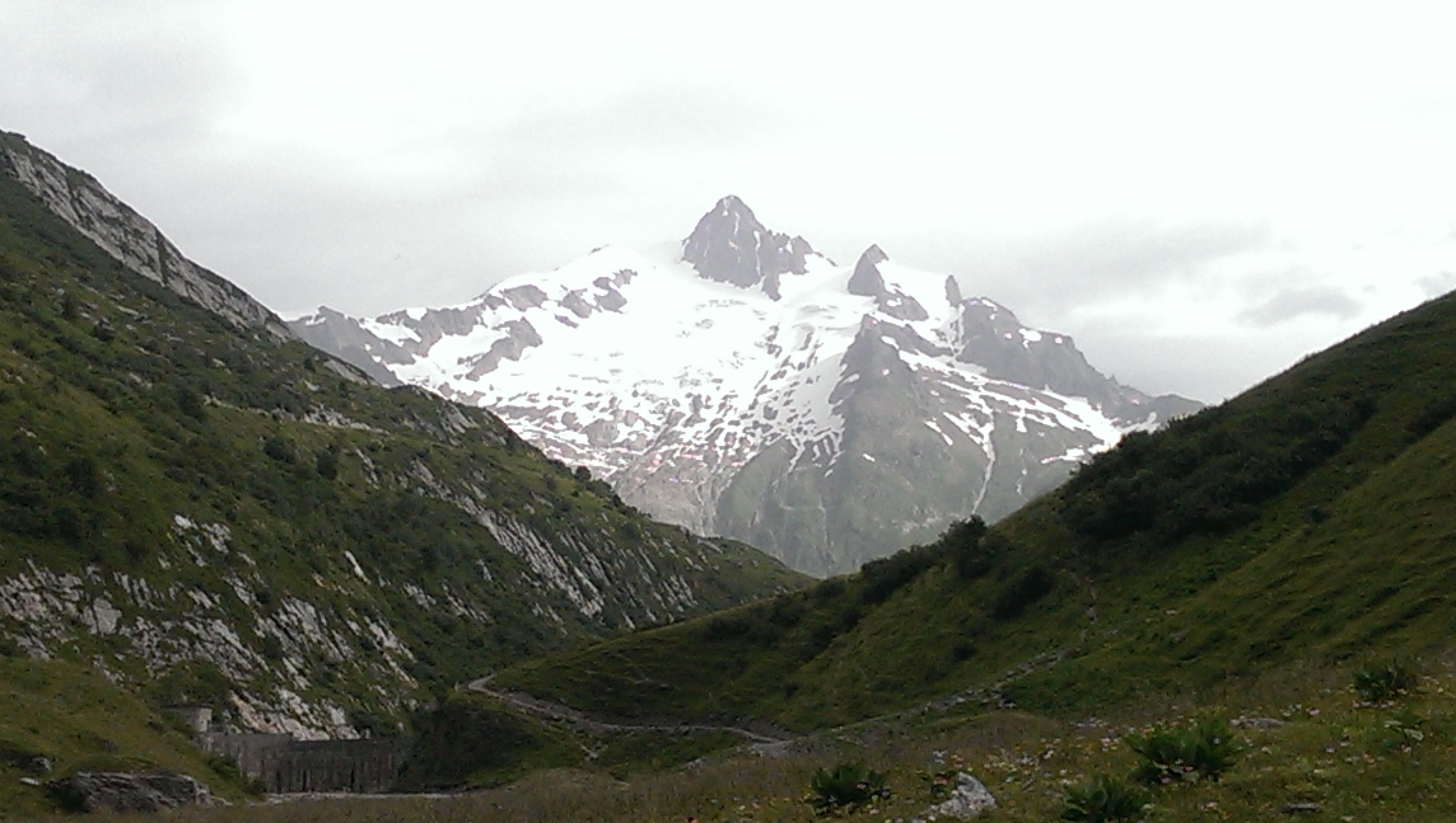
Along the way there is the Refuge Les Mottetes which has really friendly staff and excellent food, which is fairly priced.
The first year I ran the trail in 2015 during the notorious european heat wave, when even high in the mountains it was in the 40's. I was delighted to stop and fuel up there, after having spent a sleepless night with no dinner up in Refuge Del La Croix du Bonhomme. The destination had been Chapieux down in the valley, but we took the higher harder route (Col De Tricot) and barely made it to the high Refuge before dark. The people that ran the hostel were startled to see two mad Irish men arrive unexpectedly so late. There was no-one around except the staff, everyone else was in the dorm trying to get to sleep or snoring their heads off.
The breakfast and the coffee there, I skipped. So by the time we got to Refuge Mottetes it was heaven sent.
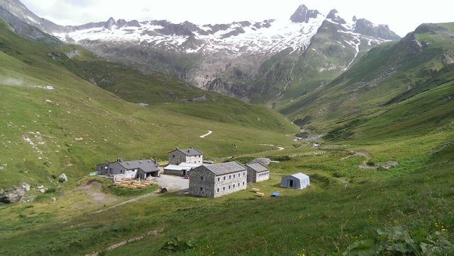
Looking down on the Refuge Les Mottetes
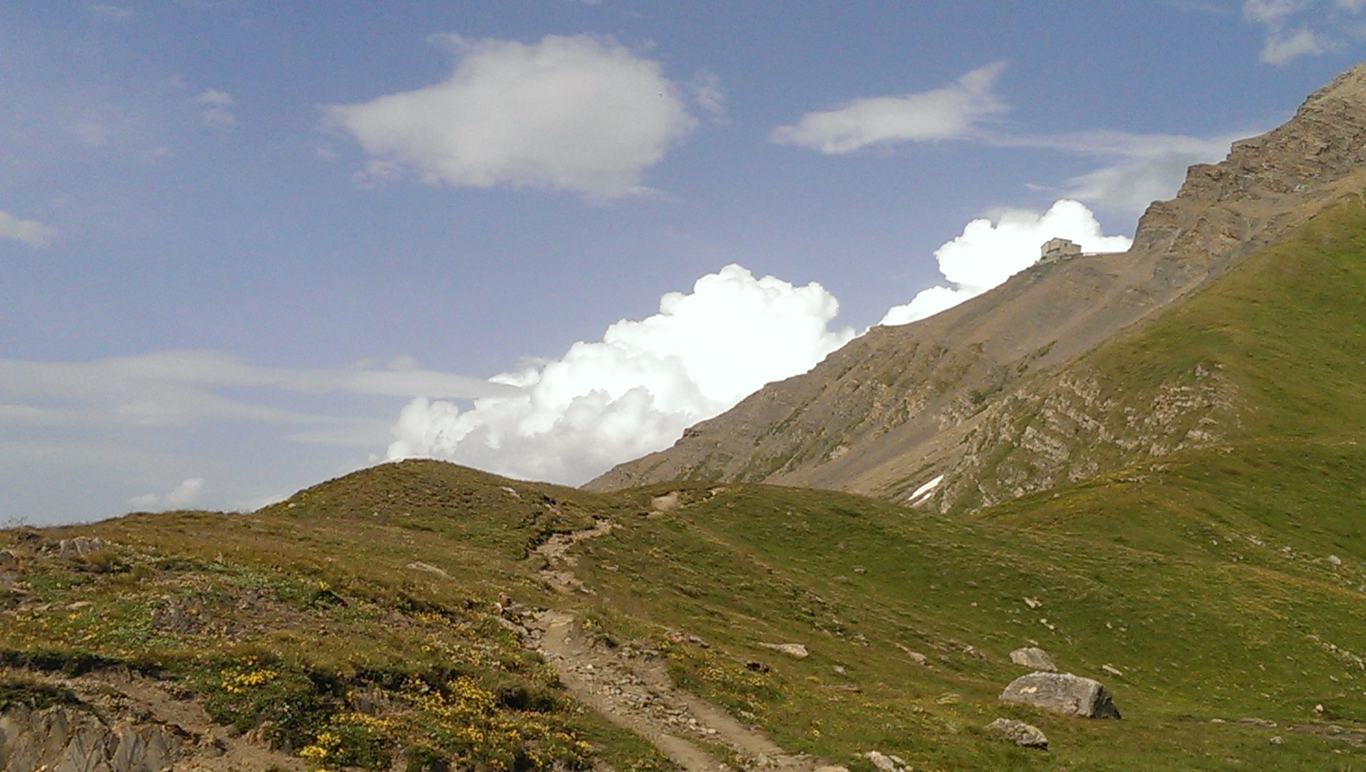
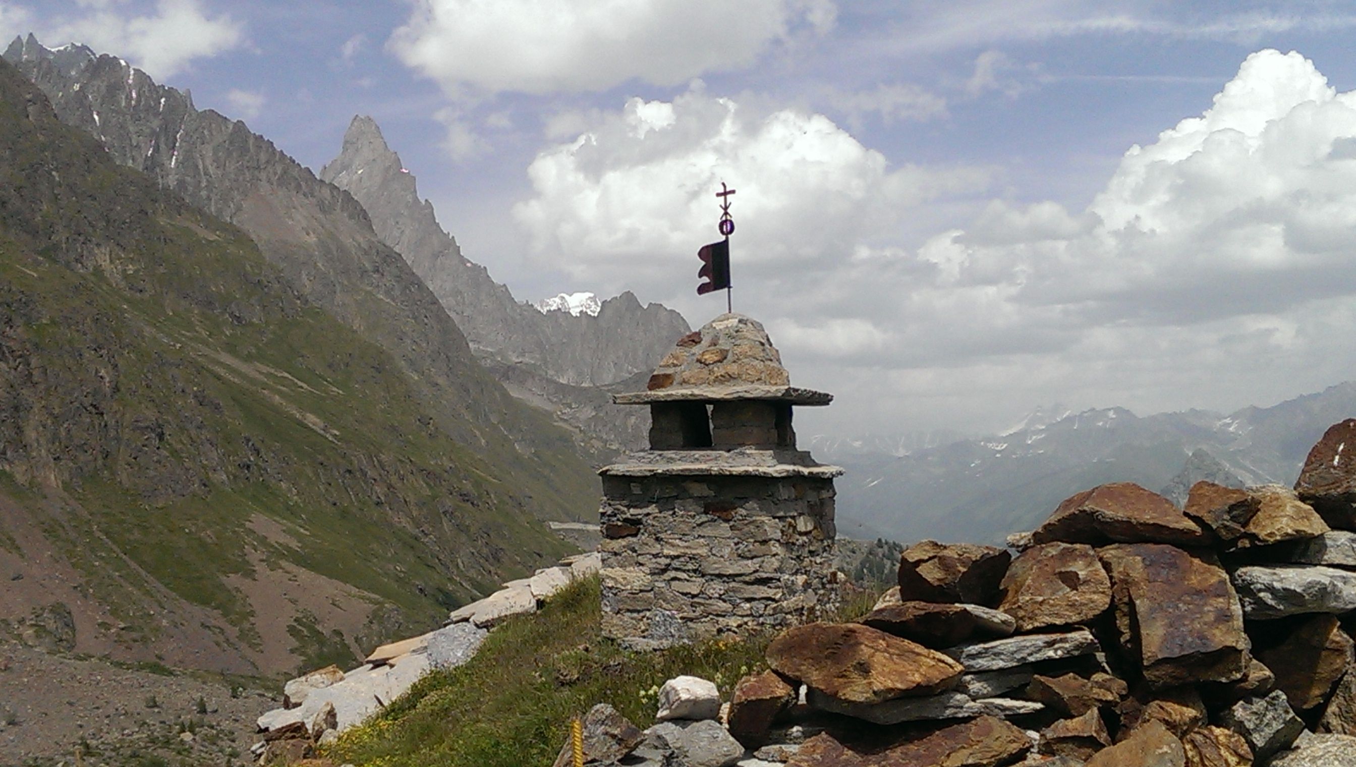
One of the trails to the Col de Seigne
Just for the record the second year I ran the trail the standard route I stayed at Chapieux, the third year due to late booking had to run to Lac Cambal on the first day, which is a tough 42 miler.
Anyway running in the heatwave was an interesting experience, from 11am onwards I made sure that I had my hoody on with the hood up in intense heat. It served to protect the back of the neck and I wore my hat as well all the time.
Every stream or river that I crossed, I would soak the hat in it and rinse my own face and head. At every water stop, we would fill up, fuel up, and drink lots and lots of alpine water that was readily available and that mixed with isotonic powder which restores the vitamins and minerals and electrolytes lost during sweating, refreshed us and kept our energy up. So lots of fluids were taken and when I stopped to eat somewhere along the way I would get in completely out of the sun, no sitting outside under an umbrella for me. However I always completely changed clothes, wash the soaking sweat filled ones, leave them on the rocks outside and by the time it was time to leave they would be bone dry. This routine worked and saved me from sun stroke.
So after leaving the Mottets feeling stoked and fuelled up the ascent is winding and has steep parts to it but it's not difficult running. The path is sandy and the views magnificent, especially when you reach the glorious Col De Seigne.
The majesty, power and the medicine of the mountains that surround you is powerful and potent, the beauty startling and the glory of it all will remain with you forever.
At the Col De Seigne 2015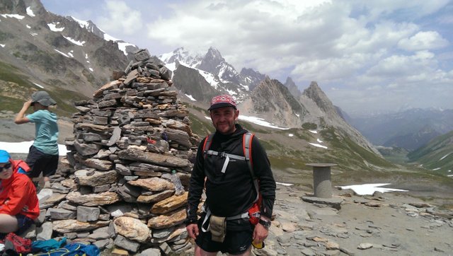
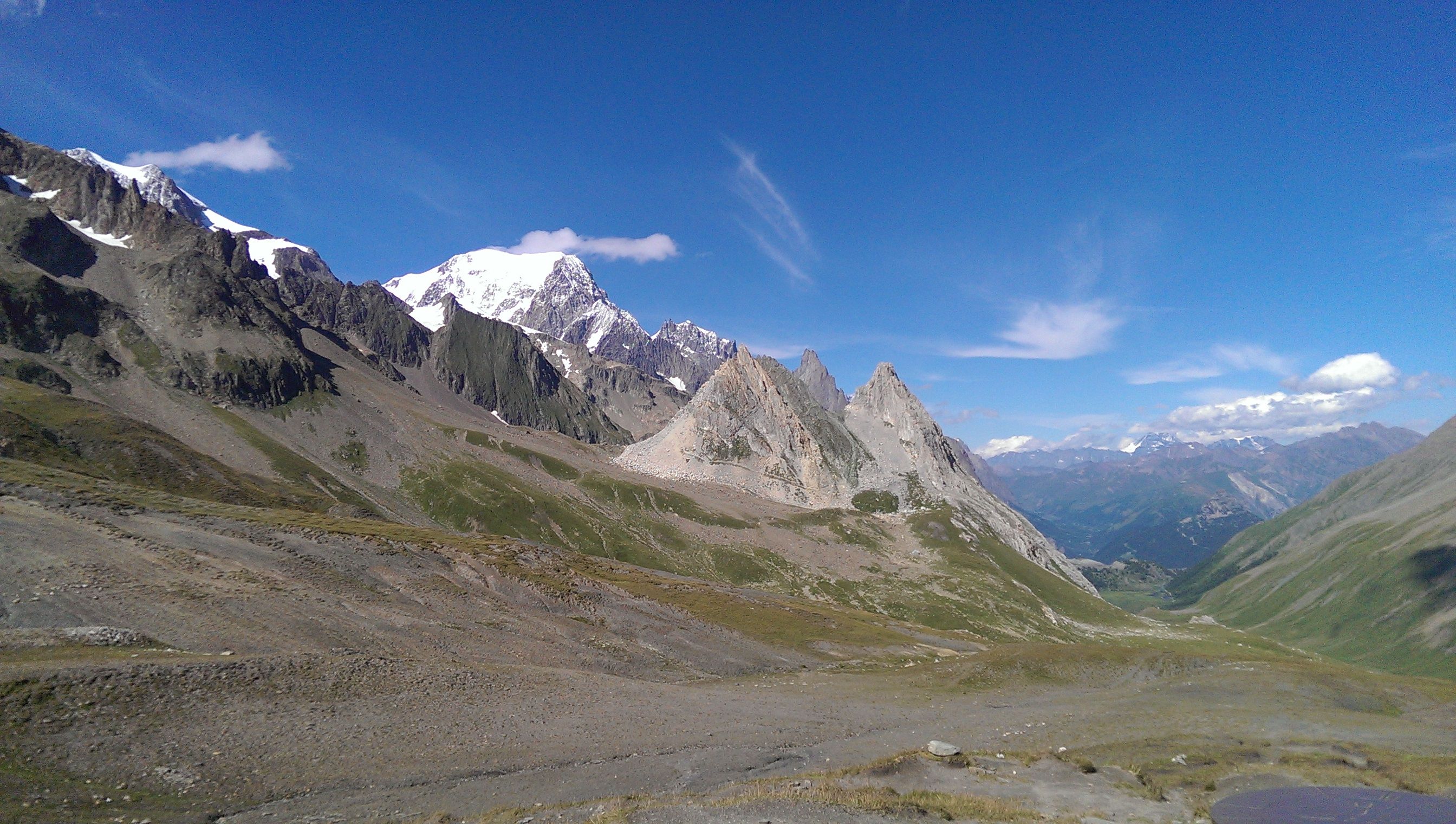
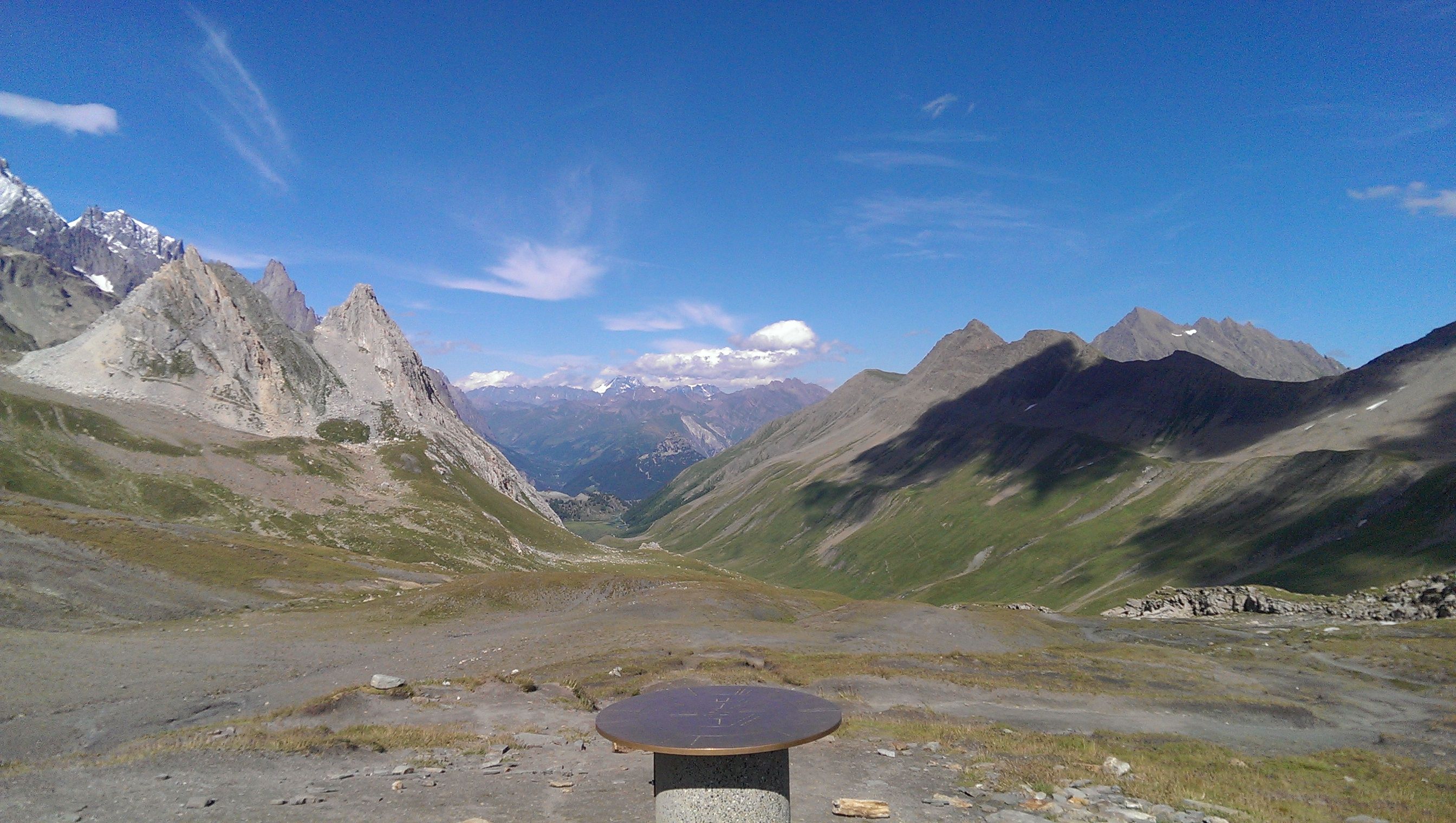
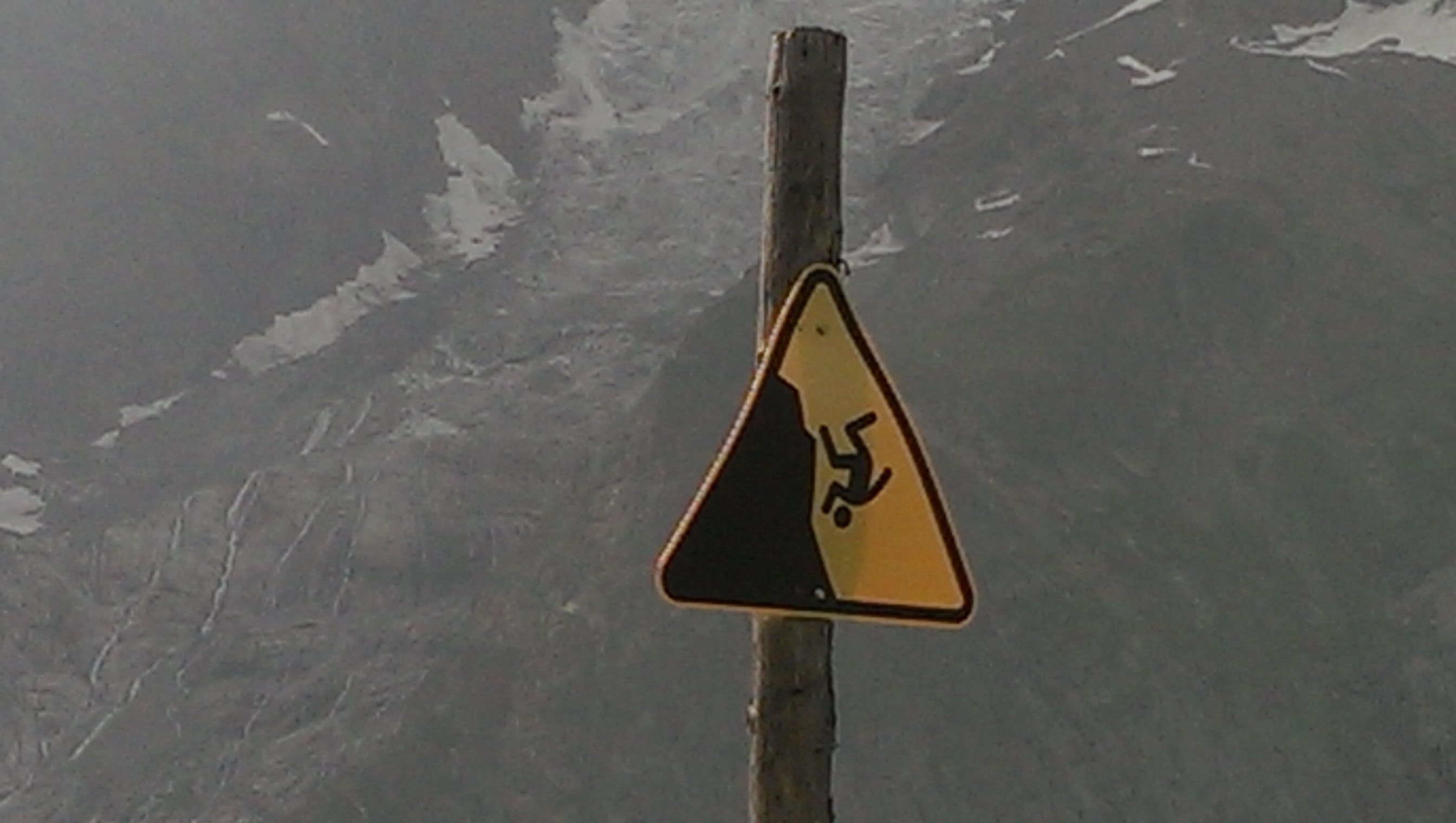
This gives some indication of the descent that lies ahead
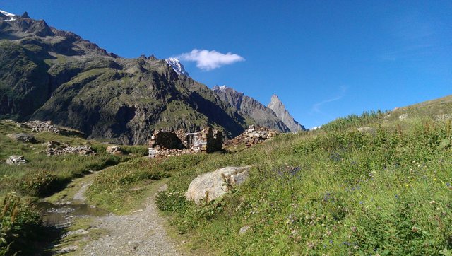
Getting closer to Refuge Elisabetta
After spending a good 15 minutes on top, soaking it all in , there is a huge descent down to the valley. About three quarters the way down there is Refuge Elisabetta and would you believe, it is quite a climb up to her.
I went in hoping to have some lunch, but they weren't serving food! She eventually agreed to make me a salad sandwich and came out with brown bread with no butter only red cabbage on top and tried to charge me 6 euros for it. I gave it back to her and promptly left. I am certain that she remembered me the following year I went back, by the look of disappointment on her face. The third year I just carried on running.
However I will say the views from here are awesome, as were the people I met and talked to! And any feedback on the food when they were serving it, was excellent.
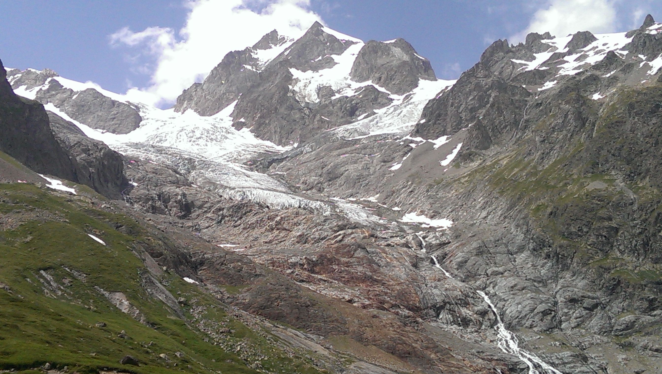
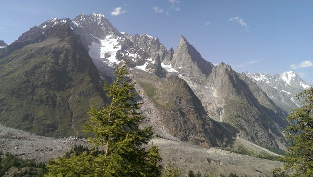
Aiguille Noire de Peuterey
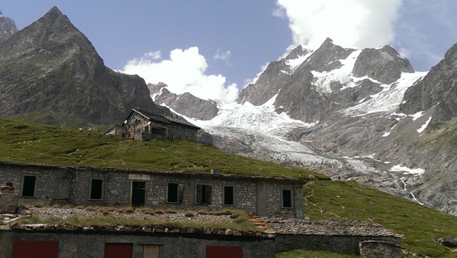 Refuge Elisabetta as you can see I wasn't joking about the climb up to her
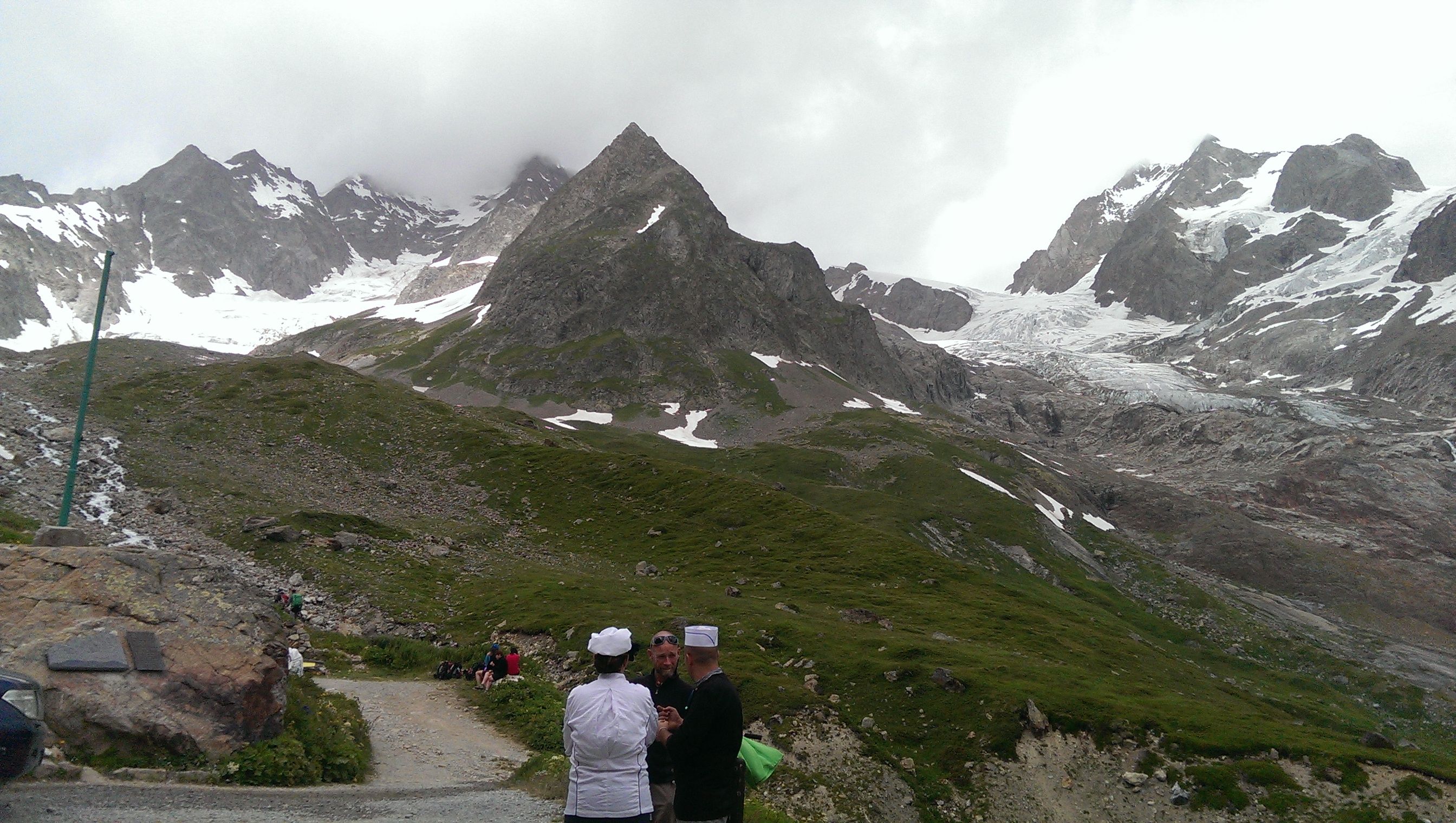
Outside the Refuge
(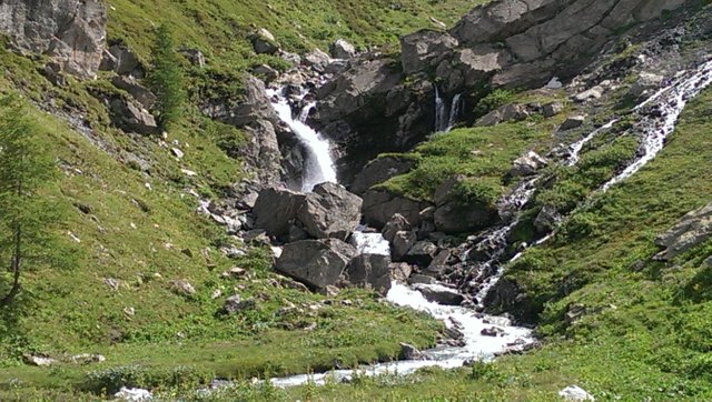 )
)
Descending down to the valley floor there are lots of curling switchbacks and then its flat and straight for about a mile or two and you pass by the lake on your left.
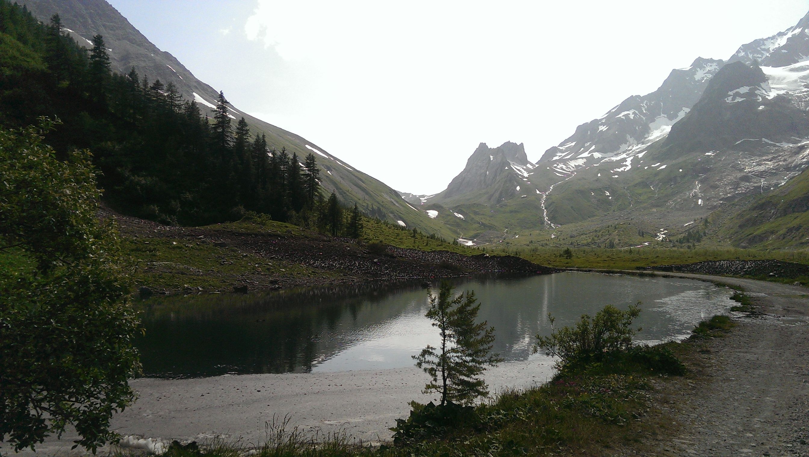
Then youcome to the familiar TMB signs on the right that lead you high up into the mountains again with stunning views everywhere. On my 3rd year I ignored these signs and carried on going for another quarter of a mile that curled around to Refuge Caban Cabal. A fantastic beautiful clean spacious Refuge, with great food. It was our first stop, having started in La Houches at 3am we got to the Caban at 6.45pm just in time for a shower and dinner.
All the refuges along the route serve dinner and breakfast at 7.
When you take the right at the signs for the Col Checrouit, you know that you are getting closer to Courmayeur and you start a steep curling ascent that levels off and climbs upwards, with mixed ascents of steep and gradual hills. Again I have always found this section handy enough to run. And the views are just Wow!
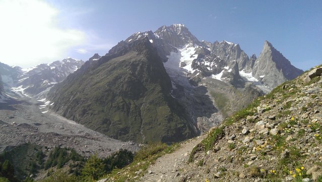
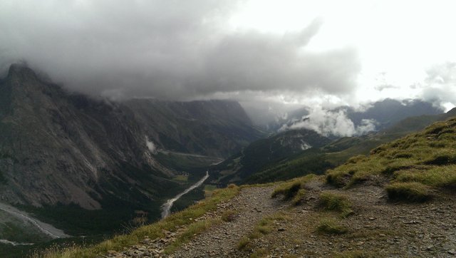
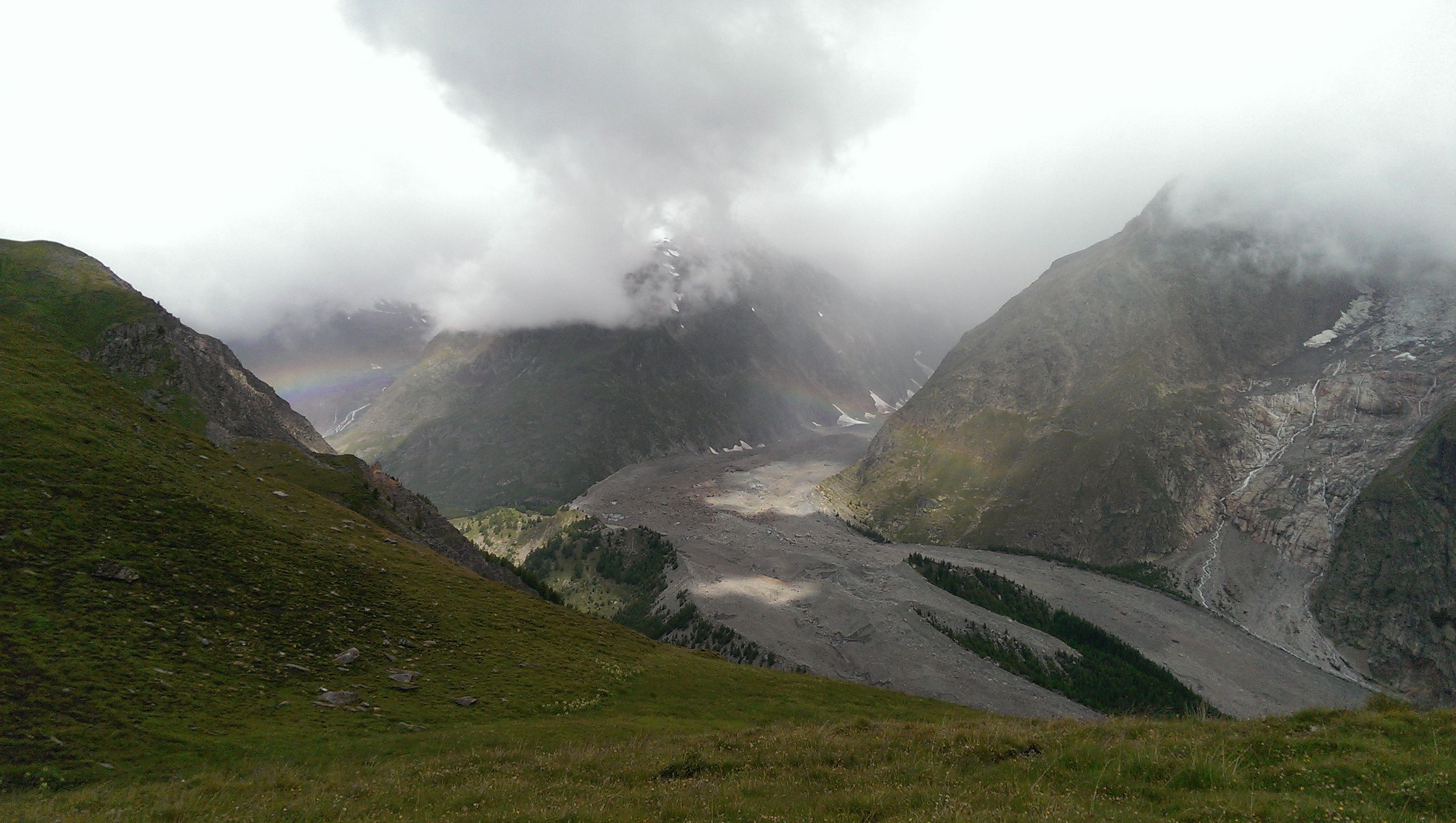
On top there is a straight sandy section, which leads to a crossroads with not clear signs, so the thing to do is just carry on and go straight through. Ultimately the trail will lead to another Refuge called Maison Veille
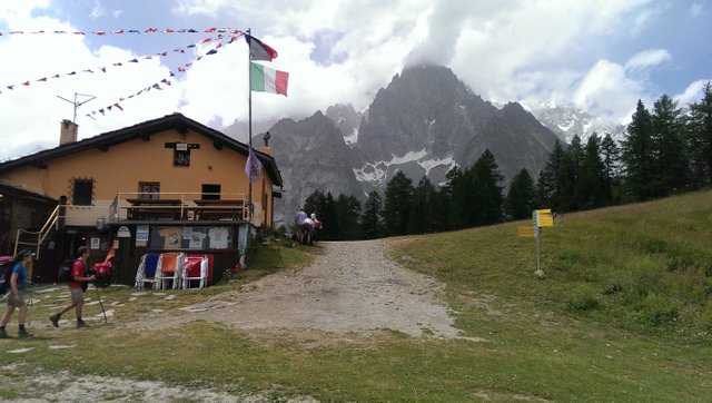
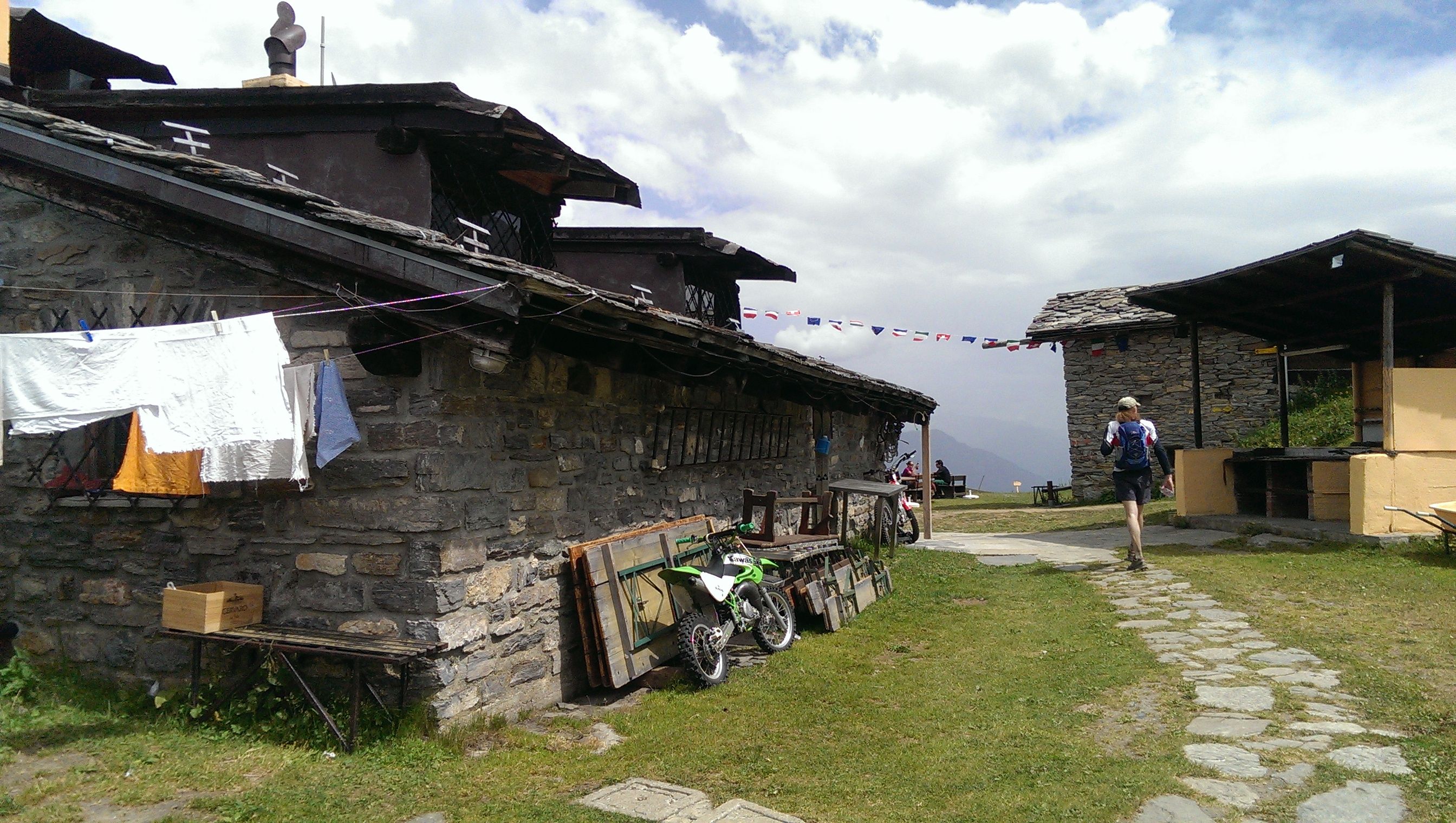
From this Dortoir the gruelling descent starts for Courmayeur. The trail is lovely through the forest and curls back and forth with obvious forest trail and sandy sections. It just goes on Forever and everytime you think that it's coming to an end, its not. It goes on and on and On. For those with bad knees or injuries or just dont feel like it... There is a chairlift that you can take all the way down, not far from Maison Veille, but that would be cheating now wouldnt it, would it..
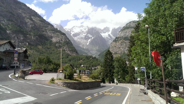
The trail eventually leads you through very attractive housing and you swing around to the left and follow the main road to Courmayeur, then you cross a large intersection and climb up some steep steps and you will find yourself on the main street of this lovely town.
( )
)
The road leading to Courmayeur
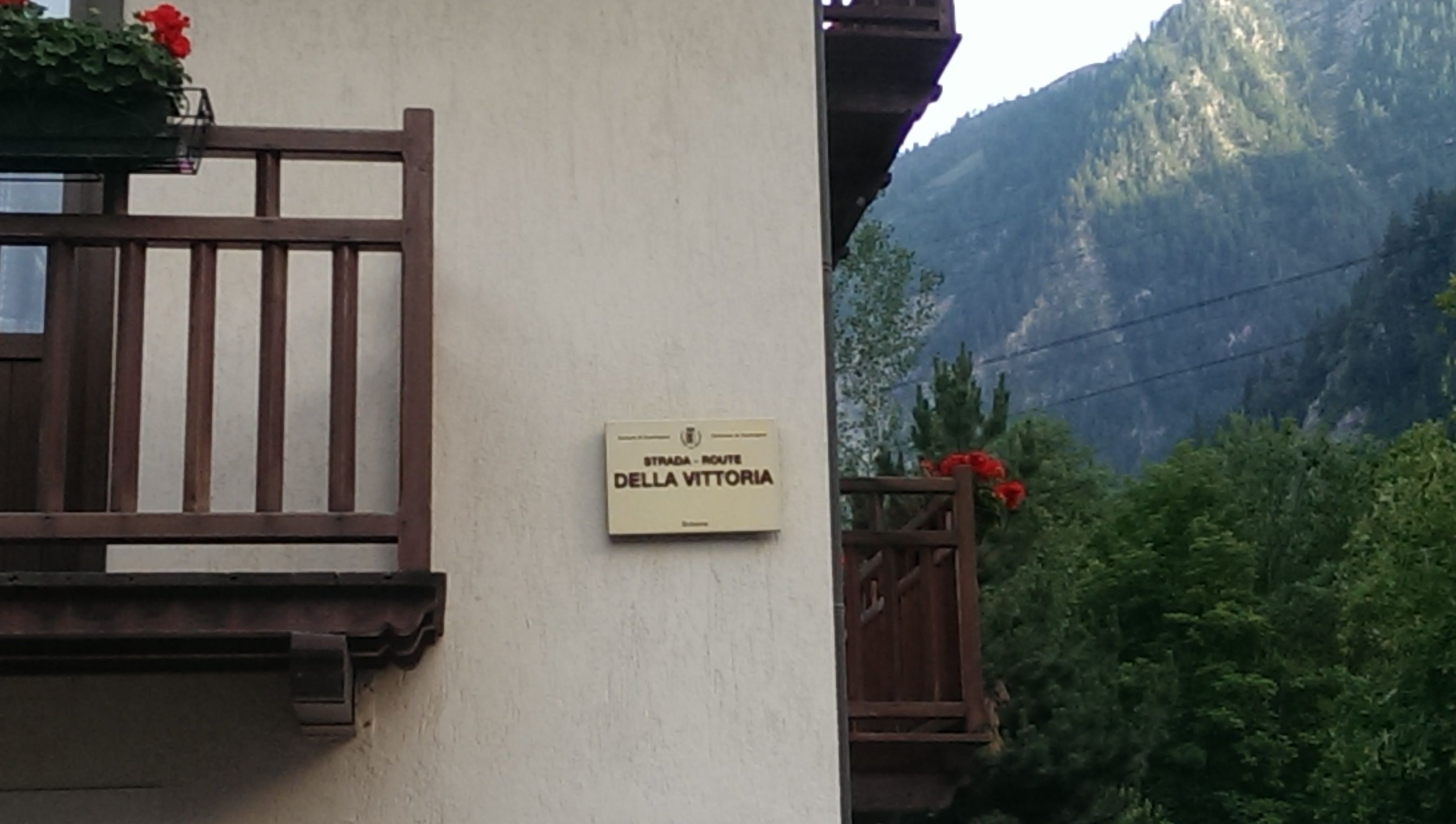
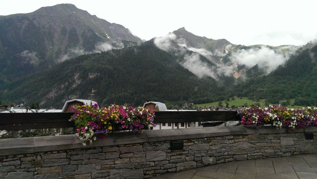
Beautiful Courmayeur
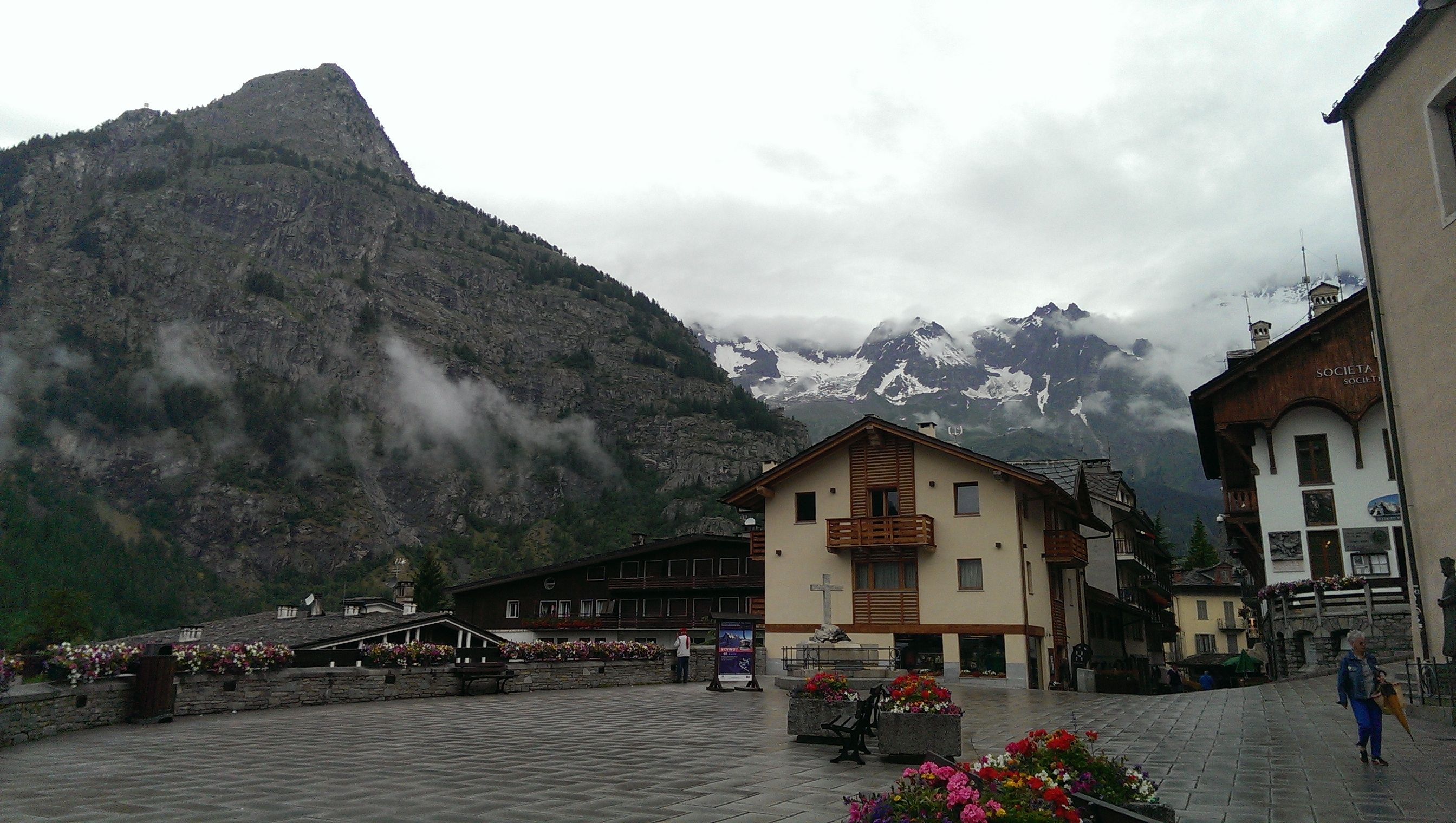
We headed down to our hotel and had the luxury that night of a bath and a shower and then later the buzz and excitement of the Italian air. Everyone that lived there seemed to be rich, fit, attractive and in love.
We both had our first good sleep that night since we started running 2 days prior and the following morning the hotel had everything you could imagine for breakfast. So we fuelled up on fruit and smoothies and a couple of boiled eggs, before heading off for
Champei Lac in Switzerland.
I hope that you enjoyed the reading and perhaps it may give you a taste and a hunger to go and hike it or run it yourself. Trust me it is a life changing experience!
Part three Courmayeur to Champei Lac shall be posted within the next few weeks.
If you want to catch the first part of the trail and story you can do so here ; https://steemit.com/travel/@zincali/running-the-trail-du-mont-blanc-tmb-in-four-days-part-one-la-houches-to-chapieux
Many happy, fun filled days to you all and thank you.
Beautiful story and pictures, again!
Thanks Nelzie!
How beautiful is that ?, the picture are phenomenal.
Thank you so much @sinjin-artworks I am delighted that you enjoyed them.
That sounds like an incredible expedition! Thank you for the magnificent pictures. The people in my running club who run UTMB never seem to have that many pictures. :-)
Thank you @dlew you are very welcome! The photos are from 3 different expeditions , if I was lucky enough to get a place on the race, there would be none!
🤣
Congratulations @zincali, this post is the ninth most rewarded post (based on pending payouts) in the last 12 hours written by a Newbie account holder (accounts that hold between 0.01 and 0.1 Mega Vests). The total number of posts by newbie account holders during this period was 3985 and the total pending payments to posts in this category was $4357.23. To see the full list of highest paid posts across all accounts categories, click here.
If you do not wish to receive these messages in future, please reply stop to this comment.
Thank you @bitgeek Delighted to know that!
And thanks everyone for your support!
Awesome mate, I've heard of this race years ago when I climbed Mont Blanc. I'll put it on my list of kick ass things to do. Cheers
Good man, you won't regret it!
Congratulations @zincali! You have received a personal award!
Click on the badge to view your Board of Honor.
Congratulations @zincali! You received a personal award!
You can view your badges on your Steem Board and compare to others on the Steem Ranking
Vote for @Steemitboard as a witness to get one more award and increased upvotes!