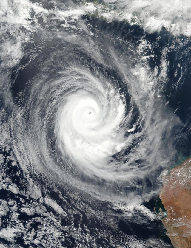
NASA eyes powerful Tropical Cyclone Marcus

While a Category 4 hurricane on the Saffir Simpson hurricane wind scale, NASA NOAA's Suomi NPP satellite passed over Tropical Cyclone Marcus in the Southern Indian Ocean.True-color imagery is created by combining data from the three color channels on the VIIRS instrument sensitive to the red, green and blue (or RGB) wavelengths of light into one composite image. Data from several other channels may also be included to cancel out or correct atmospheric interference that may blur parts of an image.
Animated enhanced infrared satellite imagery revealed warming cloud top temperatures on the western side. Warmer cloud tops mean weaker uplift, which indicates the storm does not have the power that it had previously.
The Joint Typhoon Warning Center noted that "Microwave imagery shows Marcus is undergoing an eyewall replacement cycle.