LIDAR drone - LIDAR MEREVOLUTION MAPPING AND GEOSPATAL DATA
LIDAR drone
LIDAR MEREVOLUTION MAPPING AND GEOSPATAL DATA
Screenshots

 View Image |
|---|
Hunter's comment
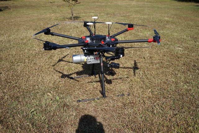
LiDAR (Light Detection and Ranging) is a remote sensing technology that uses fast laser pulses to map the Earth's surface. LiDAR is useful when used to create high resolution digital surfaces, terrain and elevation models used for a variety of business applications. In the past, companies needed to use separate personal systems for each application. Currently, companies can use LiDAR systems that are installed into UAVs as all-in-one 3D mapping devices. The ScanLook A Series LiDAR system fitted to the DJI Matrice 600 airframe is an affordable, versatile, and accurate UAV-based 3D survey solution.
Link
Contributors
Hunter: @samsulzamar

This is posted on Steemhunt - A place where you can dig products and earn STEEM.
View on Steemhunt.com
Hi @samsulzamar- Unfortunately your hunt cannot be approved. Please visit the Steemhunt Posting Guidelines to see what type of hunts will be approved.
Please specifically look at Guidelines 5. Plagiarism and Copyrights
Here is a helpful Guidelines Infographic
Please visit our Discord Server and the channel #mod-urbangladiator if you wish to discuss this decision.
Happy hunting!