Ceres Imaging - Aerial Imagery for Farmers as an Agriculture Service
Ceres Imaging
Aerial Imagery for Farmers as an Agriculture Service
Screenshots
 View Image | 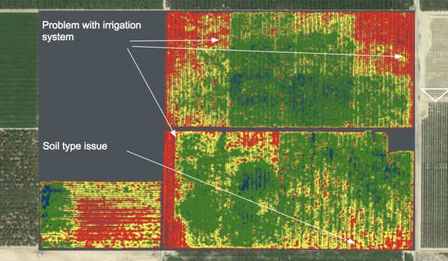 View Image |
|---|---|
Hunter's comment
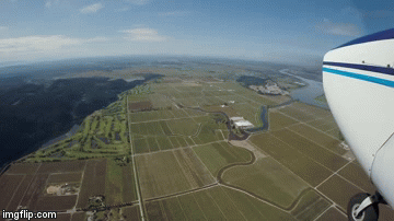
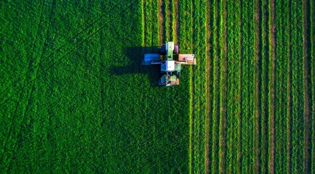
Let me introduce you to a technology to detect water, fertilizer, pests and diseases in agriculture, Ceres Imaging, aerial spectral imaging for agriculture.
Ceres Imaging is an Imagery as a service that able to do certain things like;
- Optimize irrigation
- Pest and disease detection
- Advanced analytics
- Maximise fertilizer
It also has the ability to measure water and nitrogen content at the plant level, can also measure water stress, NDVI, Chlorophyll Content.
Please watch this video to know more about how Ceres Imaging works;
Link
Contributors
Hunter: @iqbaladan

This is posted on Steemhunt - A place where you can dig products and earn STEEM.
View on Steemhunt.com
Hi @iqbaladan,
Thanks for yet another hunt. I’ve reviewed and approved it. The hunt is on.
Thanks, @fknmayhem.
This hunt really improve the agro industry which is very important for our own survival. All in one stuff. Awesome hunt!
Yea, we have to rely on our own, and this imagery as a service really will improve agriculture industry hopefully.
Damn, epic hunt! I like so much the agriculturals stuffs!
Pros:
Cons:
Thanks for stopping by, this remote sensing technology will bring new hope to the agriculture sector.