mdCOCKPIT DESKTOP SOFTWARE - mdCockpit app monitor analysis mission
mdCOCKPIT DESKTOP SOFTWARE
mdCockpit app monitor analysis mission
Screenshots

 View Image |  View Image |  View Image |
|---|---|---|
Hunter's comment
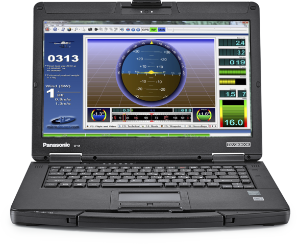
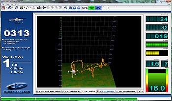
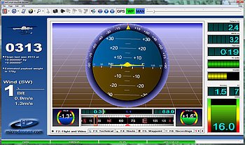
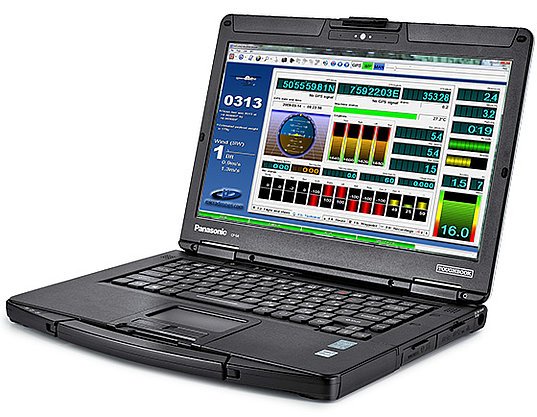
Introducing a tool specifically designed to monitor the activities carried out by Drone in terms of mapping the place and land to be surveyed.
Collecting all Results Analysis from - Analysis and Analysis of data that has been released with the Analytics Module mdCockpit. Let you keep detailed records You will have the information needed to improve the mission in the future.
mdCockpit for desktops is currently more powerful than two software options (tablet applications and desktop software).
Installing the current version of the mdCockpit application that has been updated and has a very powerful function and works well for almost all users
So that some projects are very suitable for using this tool. Some examples of projects that might require desktop software include:
Make drones follow complex terrain
Interesting flight point
LiDAR application
Make digital elevation models
Link
https://www.microdrones.com/en/mdaircraft/software/mdcockpit/
Contributors
Hunter: @helmibireuen

This is posted on Steemhunt - A place where you can dig products and earn STEEM.
View on Steemhunt.com
Awesome hunt ! Your hunt is now verified.
Join us on Steemhunt's discord
https://discord.gg/3BG4r4q
We welcome your participation in our vibrant community
checkout @steemhunt for latest updates
Thanks Moderator
This is looking excellent software, amazing tools. It can be easy useful for those who interested in it. Superb Hunt👍
Thank you @sanach for the visit, hopefully in the future I will be able to give a better one
Informasi yang sangat bermanfaat.
Terima kasih sudah berkunjung, biasakan menggunakan Apliasi web untuk kegiatan Steemhunt, dan dapatkan token hunt untuk setiap aktifitas anda disini,..
Iya bang, ini lagi saya pelajarinya.
Information is very I need to these products. Thank you
Hopefully, some of your companies use it to facilitate the mapping of the project land to be done.
thanks
Congratulations!
We have upvoted your post for your contribution within our community.
Thanks again and look forward to seeing your next hunt!
Want to chat? Join us on: