Share the hiking love @ MT.DARAITAN
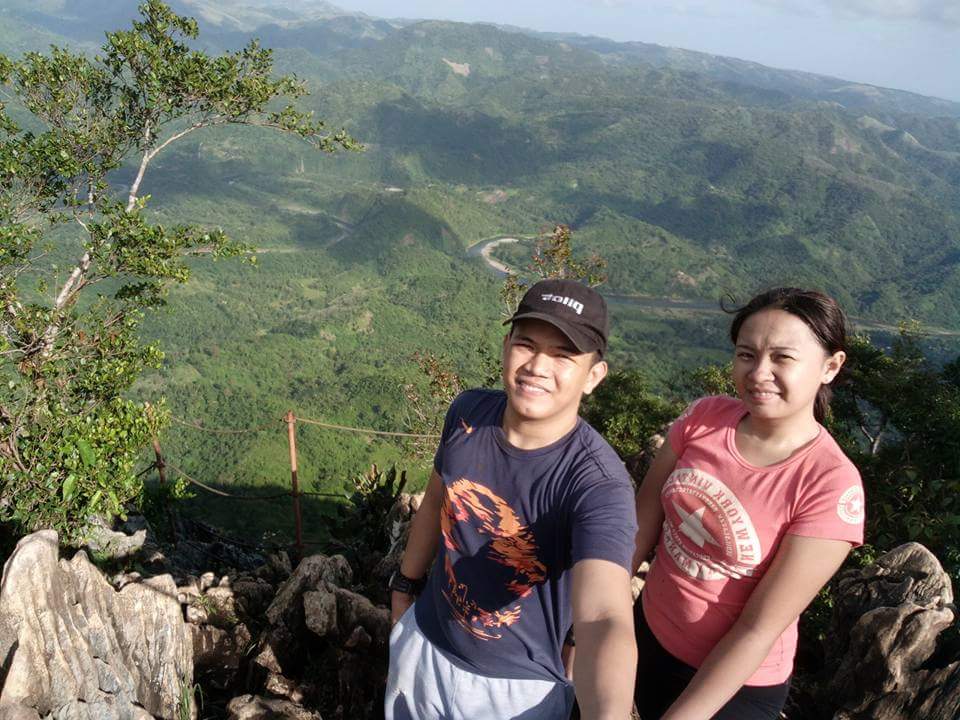
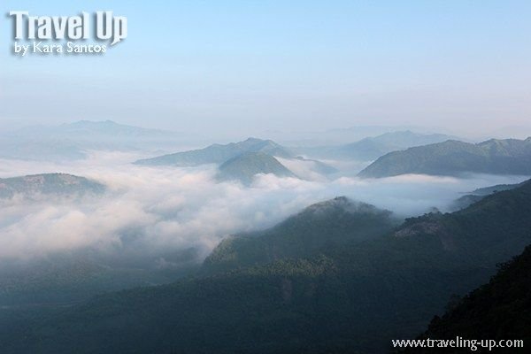
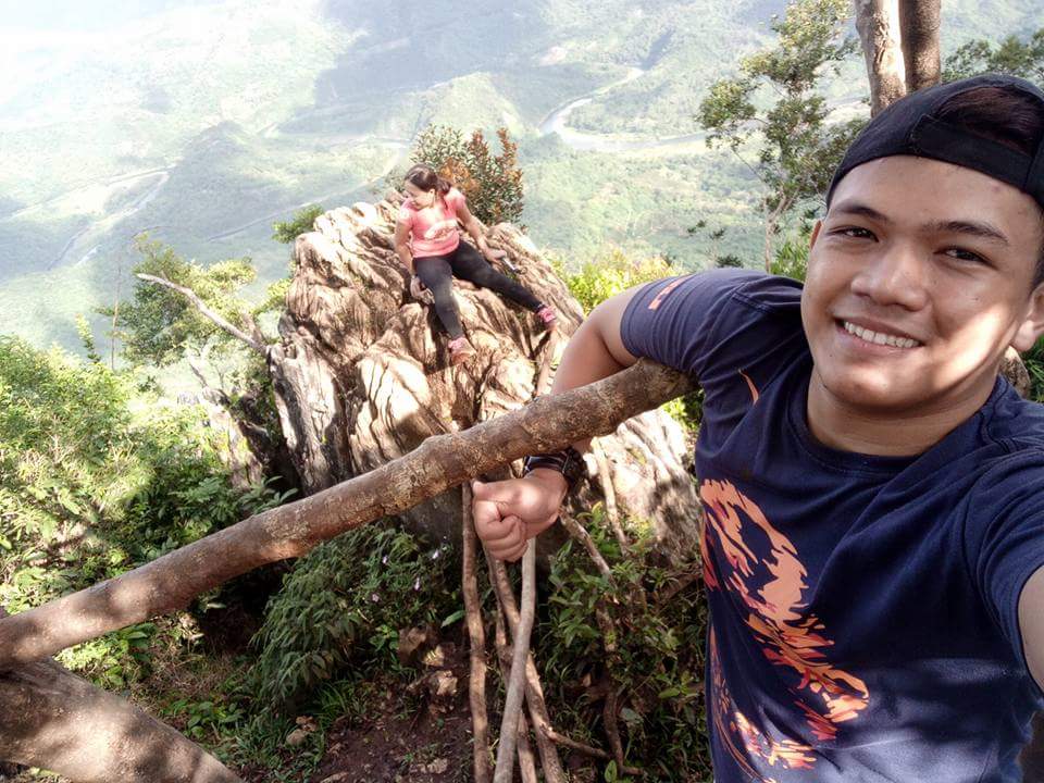
We got to the summit of Mt. Daraitan right after sunrise, that magical golden hour when early morning daylight bathes the landscape in a soft glow. The rays cast a hazy orange hue on one side of the jagged limestone rock formations. As I clambered to the top of one rock facing the East, I got a silhouette view of mountain peaks in the distance. The view of the snaking river below was obscured by a sea of clouds blanketing the rest of the Sierra Madre Mountain Range.
couldn’t help but think of the long travel time I endured just to see a “sea of clouds” view during two previous attempts to climb Mt. Pulag in Benguet. The first time I climbed, I made it to the summit but it was raining the whole time. The second time I attempted, our climb got cancelled at 3 am when a sudden typhoon hit and we all had to go home early. And while mountaineers will agree that the exhaustion and hardships of the journey is the true essence of climbing mountains, it’s always great to be rewarded with a stunning view once you get to the top. In that aspect, Mt. Daraitan does not disappoint.
I’ve been wanting to hike up Mt. Daraitan ever since I first visited the beautiful riverside town located in the foothills of Tanay, Rizal and General Nakar, Quezon. Standing at an elevation of 739+ MASL, this mountain is classified as a minor climb, with a 4/9 difficulty level and the jump-off is only a couple of hours away from Manila by private vehicle. For those who are just starting to get into hiking, the view from the top is worth the effort you’ll need to exert to get there.
Because of its proximity to Manila, it’s become one of the more popular day hikes and camping sites near the metro. I’ve heard accounts of long lines of people snaking up the trail and group hiking tour participants crowding and trying to get photos at the summit at the same time during peak hiking season. So it was a pleasant surprise to have this beautiful mountain peak all to ourselves early on a Saturday morning. Or at least for a few minutes.
It’s always better to schedule hikes during weekdays, but it’s not always possible because of work schedules. Art and I decided to stay overnight in the village on a ride and hike trip on a Friday and start early on a Saturday just to get ahead of other hikers. The motorcycle ride through rough roads to the village was a large part of what made the whole hiking experience so fun.
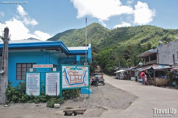
By private vehicle, it takes about 2-2.5 hours to get to the village center in Tanay. Add an hour or two if you’re taking public transport. Most day trip hikers will start their trek from the barangay hall and traverse a steep and challenging ascent early on. The normal hike can last anywhere from 3-4 hours depending on your group’s pace and the number of hikers that day.
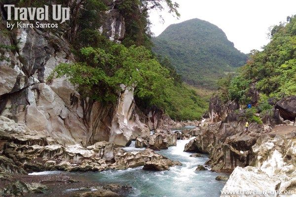
Aside from Mt. Daraitan, one of the main attractions here is Tinipak River, one of the country’s cleanest, free-flowing rivers, surrounded by large marble rocks that are great for bouldering. After descending from the summit, hikers usually continue the trek to Tinipak Rocks and walk to the river on the other side of the village. The river’s sparkling waters and majestic white rocks and cliffs that border it are almost surreal. Visitors can choose to swim in the river or if they have time, visit the cave pool for a swim. Because of the beautiful sights in the area and travel time to and from Manila, it’s really best to allot a whole day for this hiking trip.
LOCATION:
Major jumpoff: Brgy. Daraitan (village centre), Tanay. Minor jumpoff: Brgy. Pagsangahan, General Nakar. LLA: 14°36′48.5′′N 121°26′19.5′′ E, 739 MASL (+600)
That's why i love my country
Philiphines! With my love ones