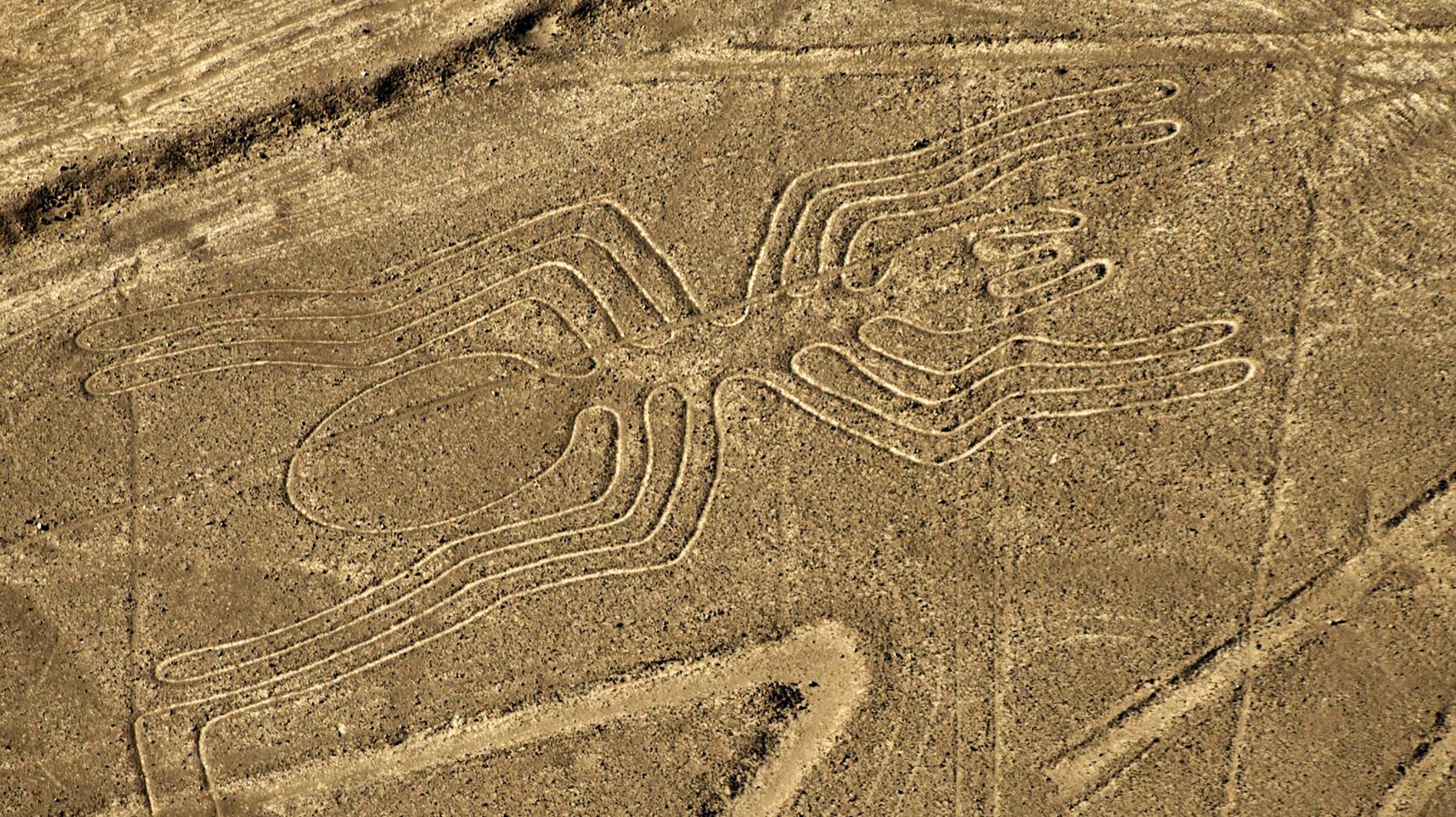
Clarify the mystery of the Nazca lines
The sense of the famous geoglyphs of southwestern Peru, known as the Nazca lines and that have taken away the dream to the archaeologists in different times, has been finally solved.

From spirals to monkeys, llamas and flowers, these drawings of no more than 30 centimeters deep, created between the years 100 and 700 d.C. And covering about 500 square kilometers, can only be observed entirely from the air. Therefore, the satellite images have been fundamental to determine that their origin would be related to water, publishes the site Motherboard.
Rosa Lasaponara, a member of the National Research Council of Rome, explained that the latest studies were based on spiral-shaped holes called puquios and located in close proximity to the Nazca lines.
Thanks to satellite photographs, these holes were connected with underground water channels, which means that they form part of a system of aqueducts.