Aerial Photographs
Aerial photography is - as it sounds - the process of taking photographs from the air, but there is more to it than simply using a light aircraft or helicopter and flying up to take photographs. There are many elements to an aerial survey that must be considered to ensure that the data is useful enough to extrapolate whatever is being investigated. It is often difficult to see elements of the landscape on the ground, features can easily be missed, and what might seem like an insignificant bump from ground level can become more significant in a wider context ; some landscape types are difficult to access on foot so aerial photographs are vital to study and map them.
They have been used as a method of landscape studies for over a century , especially in archaeology and researchers have learnt much about the world around us; its applications today are broad and coupled with the growing technology of GIS (geographic information systems), the potential means that the method will not become obsolete any time soon. Aerial photographs are taken in two basic forms and both have different uses and applications: oblique and vertical. Even today in an age of high quality digital imaging, black and white images are preferred - partly because they are cheaper but also partly because the contrast of black, white and greys makes it easier to pick out features
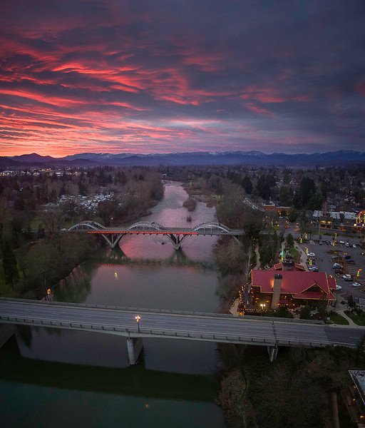
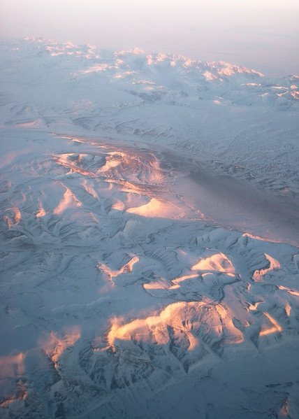
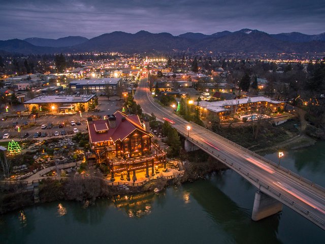
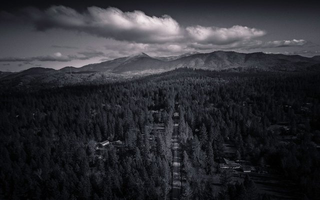
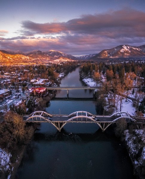
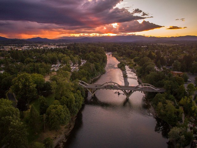
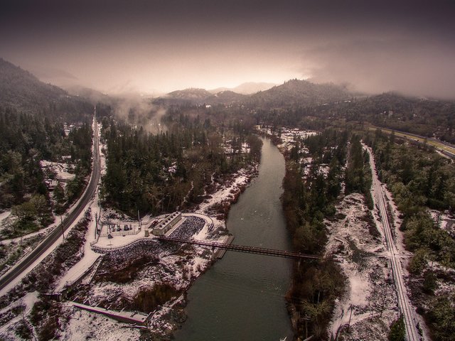
definition source http://www.environmentalscience.org/principles-applications-aerial-photography
if you like it follow me for more beautiful photos
Beautiful cloud....
thank you follow and upvote if you like it @irwanumpal
Congratulations @piuiu! You have completed some achievement on Steemit and have been rewarded with new badge(s) :
Click on any badge to view your own Board of Honor on SteemitBoard.
For more information about SteemitBoard, click here
If you no longer want to receive notifications, reply to this comment with the word
STOP