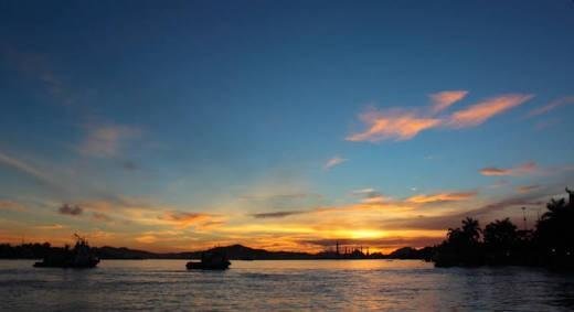
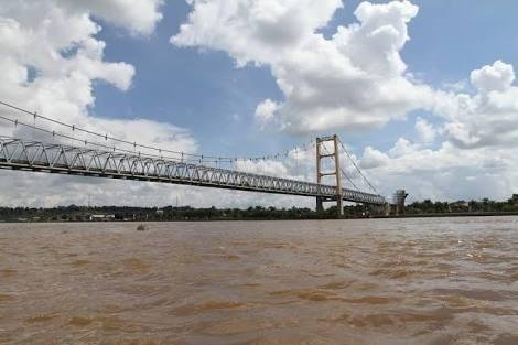
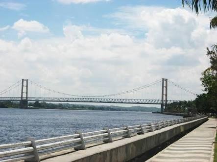
River mahakam in indonesia - Amazing scenery nature

Mahakam is the name of one of the largest in the province of East Kalimantan that empties into the Makassar Strait. River with a length of about 920 km is across the region of West Kutai in the upstream, to the Kutai Kartanegara and Samarinda downstream. On the river live species of freshwater fish mammals are threatened with extinction, namely Pesut Mahakam.
The Mahakam River has always played an important role in the life of the surrounding community as a source of water, fishery potential as well as transportation infrastructure.

Kalimantan is part of the Sunda Plate (Sunda Plate). The island has a series of mountains in the border area between Indonesia and Malaysia but on the island there is virtually no volcanic activity. The Mahakam River originates from Mount Cemaru (1,681 m) in the central part of Borneo Island, then cuts the pre-tertiary unit to the east of Mount Batuayan (1.652 m) and then ends up in the Kutai (Kutai basin) test valley. The middle part of the drainage area goes through the lowlands with swampy lakes. In the middle of this area the Mahakam River is separated by the Barito river area next to it by hills that are less than 500m high. After the area the Mahakam River cut out the Samarinda anticline and flows into the Mahakam Delta which resembles a fan that stretches on a sea landing with a base of about 65 km and a radius of about 30 km.

At Atlas of East Kalimantan (Voss, 1983) it is illustrated that upstream from Long Iram (Upper Mahakam River Basin) flows in tertiary rocks. Between Long Iram and Muara Kaman (central watershed) these rivers flow in quaternary alluvium rocks, while between Muara Kaman and downstream including the Mahakam Delta, re-discovered tertiary rocks.
You have enemies? Good. That means you've stood up for something, sometime in your life.
good pics
Thank you