Trailhead and River Run
Trailhead and River Run

I do remember the mild but exciting apprehension with which we slid the loaded
canoe into the water downstream of the Tobermore/Maghera road bridge in
preparation for departure. It was a beautiful, sunny Irish day. To the west of
us the heather-encrusted Sperrin Mountains glowed purple in the sunlight and
all around the lush green fields seemed to welcome us. As long as rain and

misfortune stayed away it promised to be a glorious day. We bade goodbye
to my father (who must have wondered if he would ever see his canoe again)
and started downstream, Frank in front and me behind. Not much paddling
was needed but we soon encountered the first of many small rapids, some of
which we needed to wade in order to negotiate. Inevitably the first rip in the
canvas occurred, the Elastoplast came out and the canoe received its first badge
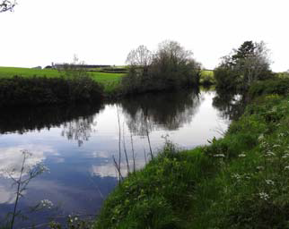
of honor. On we drifted with kingfishers flashing past us and startled herons
rising majestically before us. Though farm fields lay all around I don’t think we
saw a single person all day long. The river was its own sanctuary and we felt
we should slip respectfully through this ribbon of near-wilderness. More riffles
were encountered and negotiated but the bottom of the canoe began to look
like a canvas war-zone; the Elastoplast supply was dwindling fast. We passed
the junction with the Grange Water at 54o47.990’N, 6o36.486’W and pressed
on downstream.
Several hours into our adventure and just beyond the GrangeWater junction,
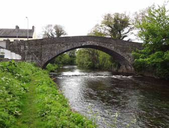
we came to the lovely old Curran bridge, named after the nearby hamlet that
recorded a population of 130 in the 2001 Census. A beautiful old stone, four-arch
bridge carrying a single lane across the Moyola (at 54o47.980’N, 6o36.758’W),
the Curran bridge must date back at least to the 1800s if not before. Instantly
recognized, we floated through it relieved to know where we were. The river was
now fuller and easier to traverse.

However, a little over 1/4 mile downstream of
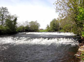
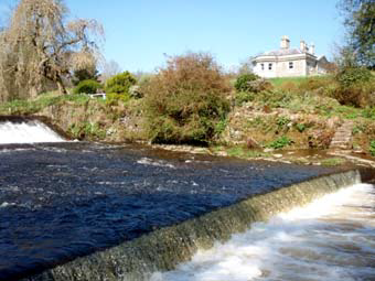
the Curran bridge we came to an old weir or dam (at 54o47.785’N, 6o35.115’W)
that dropped about 6ft in two stages. Throughout Ireland (and indeed Europe)
dams like this were built in conjunction with a race, a diversion of part of
the flow used to drive a water wheel and mill to process the local agricultural
produce. They represented the first mechanization, the first industry, and were
an essential and fundamental step in the development of civilization. The sluice
gate that regulated the flow into the race of this first weir is still extant though
overgrown and long forgotten. During our long-ago adventure this weir was our
first significant obstacle and initially caused us some trepidation.

But it was easily portaged and we were soon on our way.
easily portaged and we were soon on our way.