#MyCalifornia: Coyote Meadows Above Bishop, CA
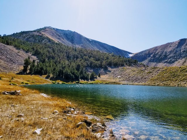 Alpine "Funnel Lake", two miles above sea level in the Eastern Sierras.
Last week, I shared with you all about my trip with @Mattlovell to the Eastern Sierras at Lone Pine, CA. https://steemit.com/mycalifornia/@creationofcare/mycalifornia-lone-pine-and-the-alabama-hills
After exiting the Alabama Hills and Lone Pine, we headed north on Highway 395 to Bishop, CA.
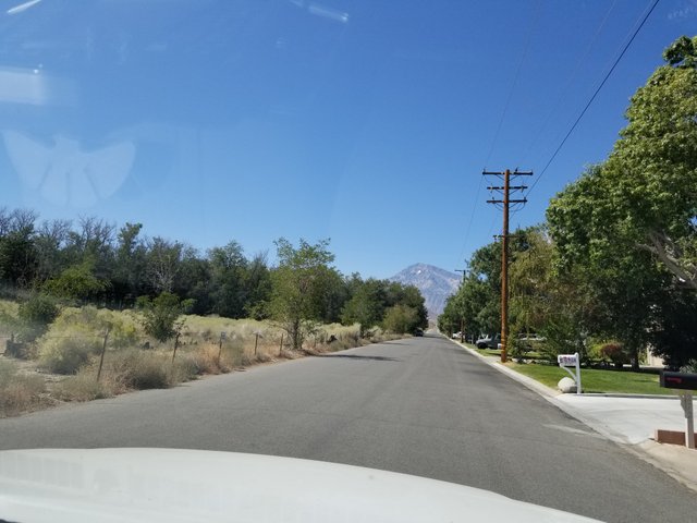 It's a pretty little agricultural town where the Owens River and Bishop Creek meet.
The Mojave Desert dominates the dry floor at the bottom of the Sierra Nevada Mountains.
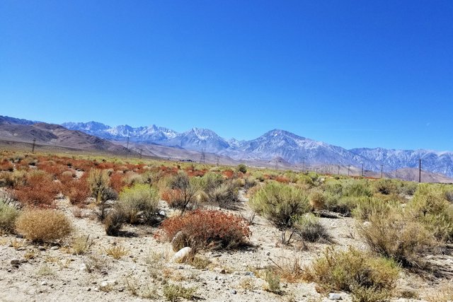
We have a long, dusty, steep, switchback drive up the rocky face. It's fascinating to watch the scenery morph from desert scrublands into piñon forests. Breathtaking views abound, both of the pastoral emerald of Owens Valley, but also of Sierra Nevada and White Mountains northward.
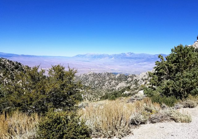 View northeast towards Bishop, CA and the White Mountains.
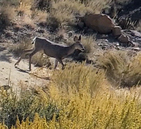
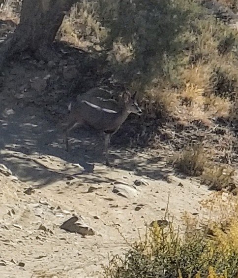
A family of deer crossed the road midway up the mountain:
After many twists and turns over the steep, rocky track, we eventually hit Coyote Creek, crossing at the top of the world.
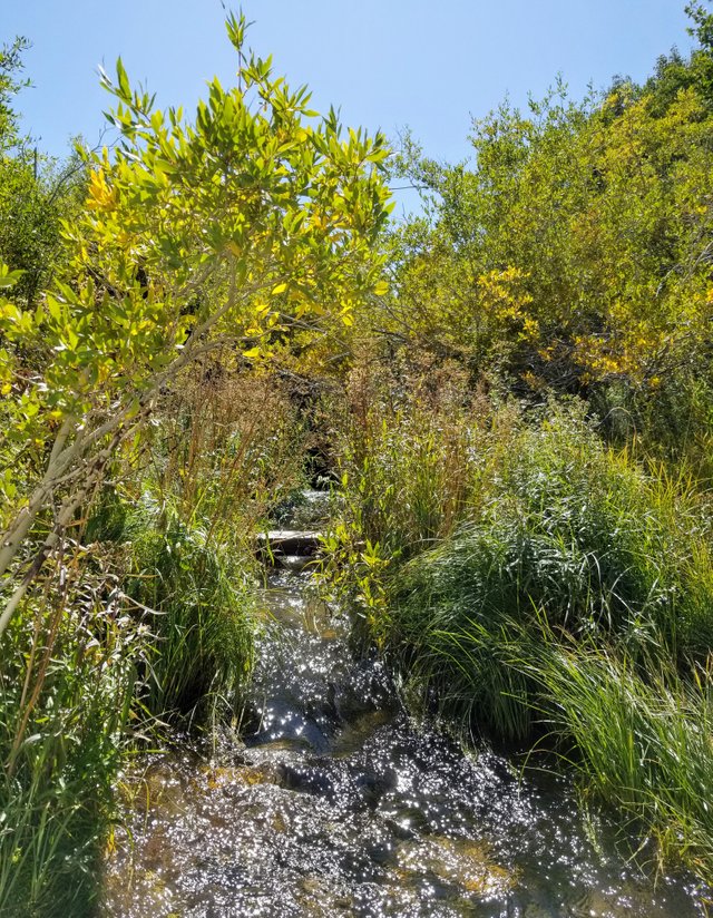 Willows and rosebushes loaded with crimson hips choked the brilliant thread of water cascading down from snowcaps into the valley below.
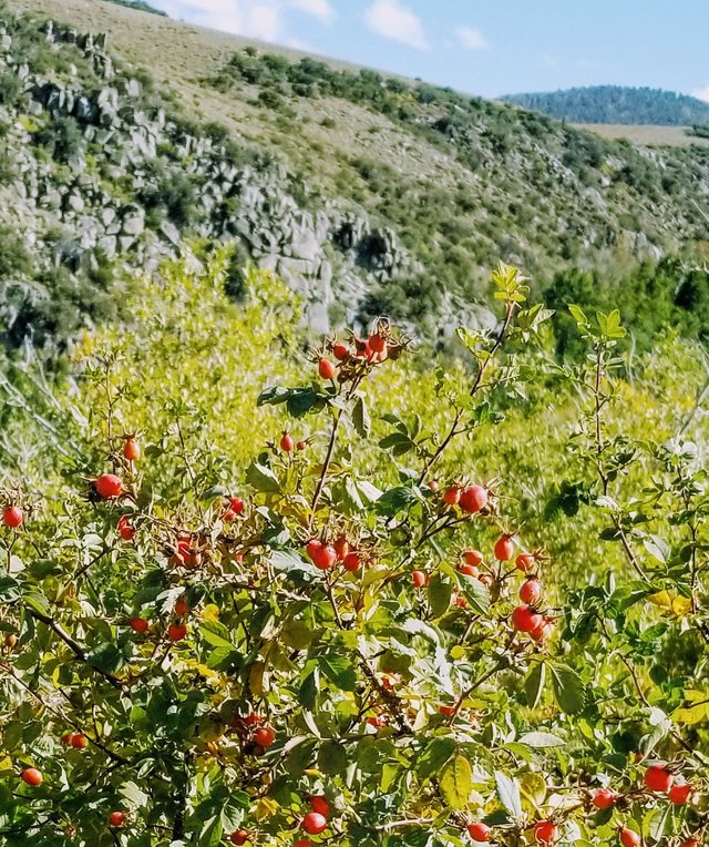
Suddenly the sagebrush and wild grass meadows sprawl in awesome splendor across the total field of vision, fading stone glaciers like ziggurats above.
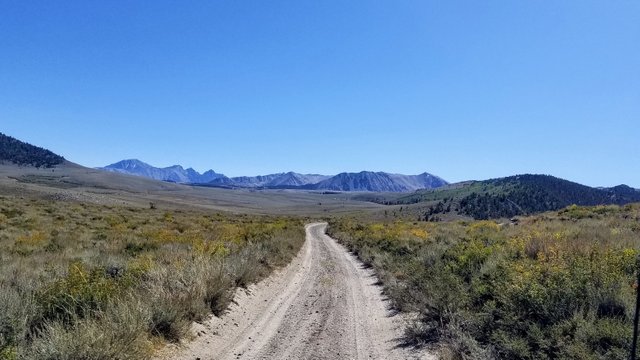
We hugged the western topography and made a gut-churning boulder crawl up a knoll and into a crystal water basin fed by melting snow or post-glacial ice.
This amazing alpine lake is fed from above by a constant trickle of pure snow water running down from the southern wall over a rocky slope covered with specialized plants and hopping with endangered toads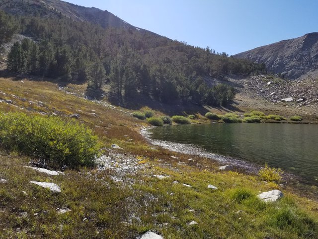 Water seeps and flows from above to below.
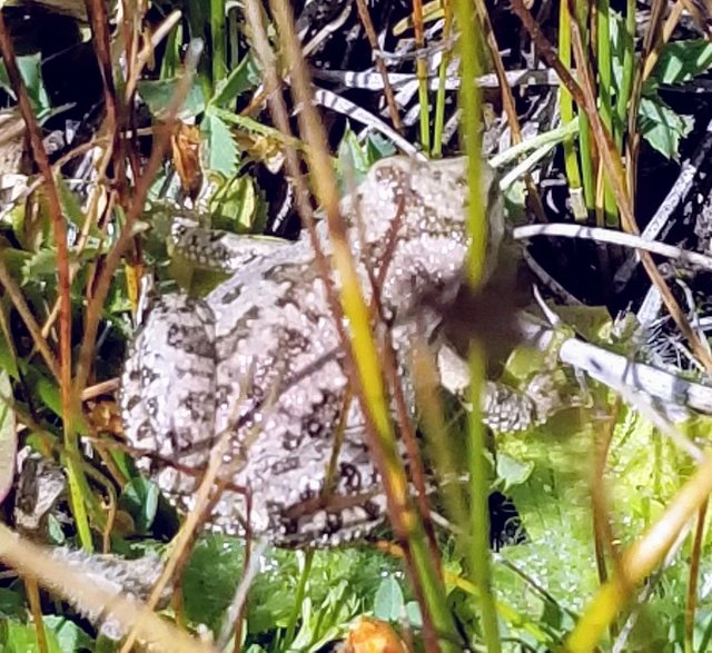 Protect this toad's habitat, please!
We weren't alone here, since it was hunting season and people with rugged offroad vehicles enjoy nature's hardest challenges. Still, the remoteness allows plenty of wilderness to go around.
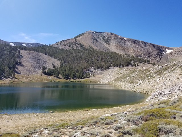 Funnel Lake
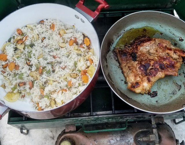
I decided to have fun making a fancy dinner. I brought a bunch of vegetables from my garden, along with boneless chicken and rice. It took a long time at our high altitude (10,600 feet) to cook through, but worth the wait!
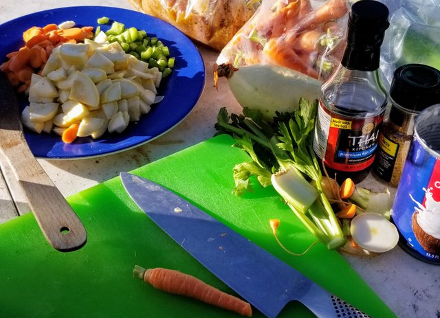 Glamping
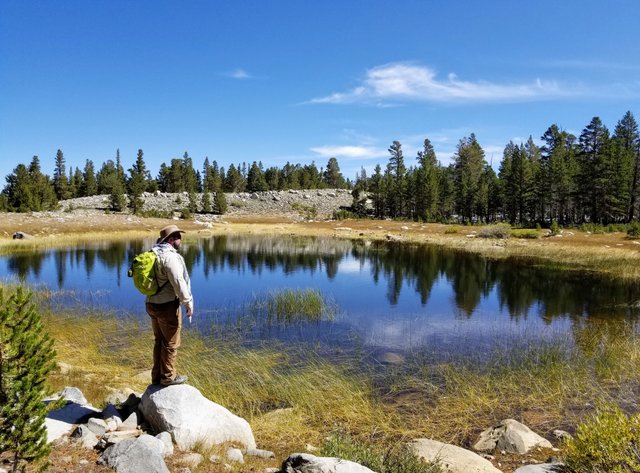
The next day, Matt and I took a wander. The track out meanders along conifers, meadows, and a string of small ponds. We brought a blanket and bathed in the beauty. As we sat, a hawk buzzed right through the trees arm's length from Matt's head! Wild.
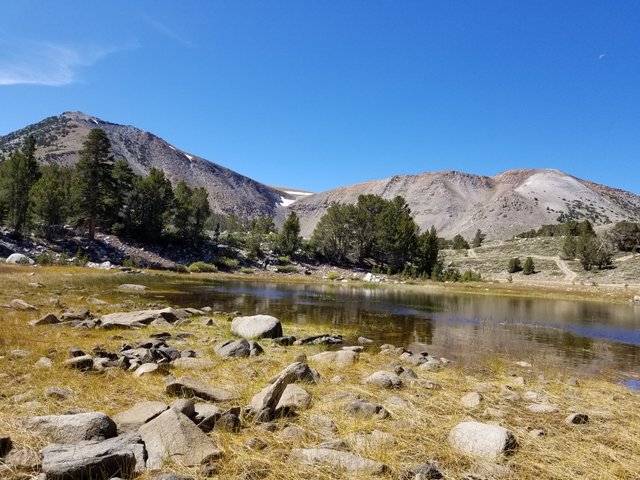
There is another lake hanging above Funnel. We made the wrong approach, and exhausted ourselves on a field of boulders left behind by former ice.
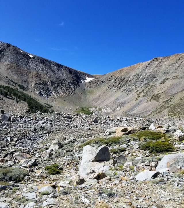
That night, the wind buffeted Funnel Lake like a swirly from a God-sized bully, only fortunately without rain. There's something so romantic about huddling under the covers together with only a thin bubble of nylon between you and the elements.
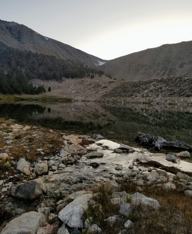
In the morning, we were happy to quickly pack up and tour Coyote Flats on our way to Baker Creek.
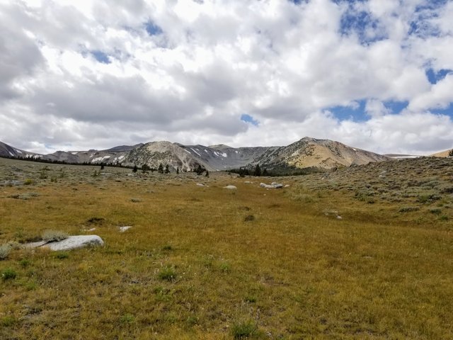
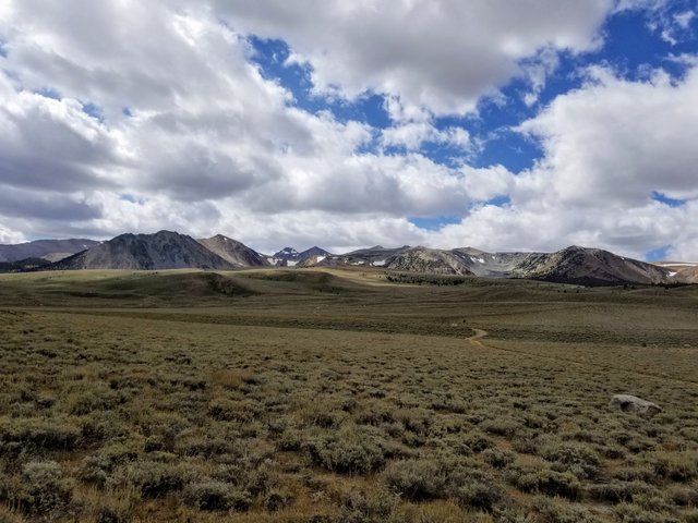
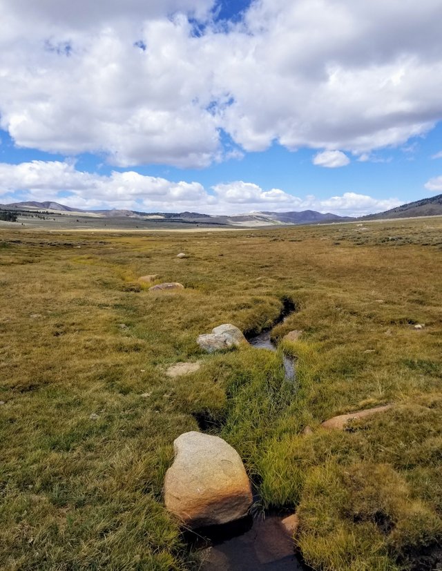

Finally, we wound our way to Baker Creek, which drains the lake of the same name just on the other side of the John Muir Wilderness boundary. There is plenty of room to camp here, and next time this will be our main destination. It is so gorgeous, I become tongue tied with awe.
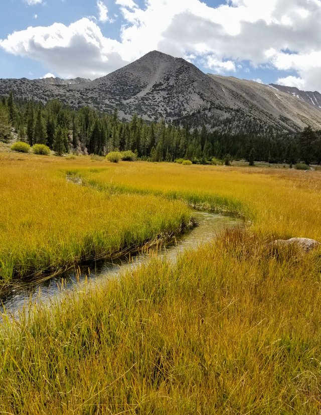 Baker Creek
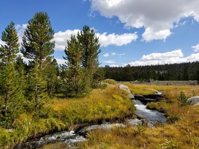
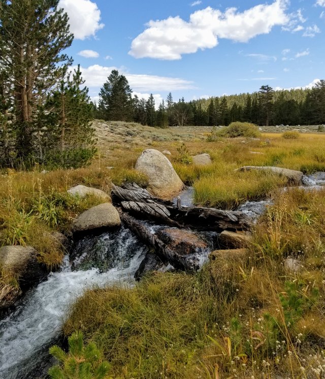
Matt did some fishing along the way.
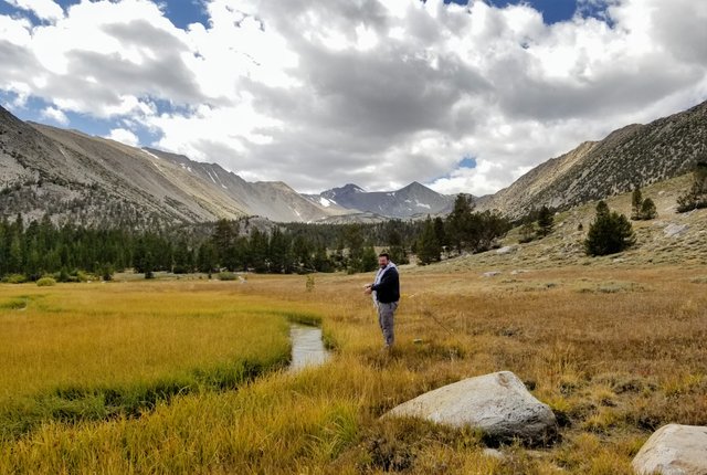
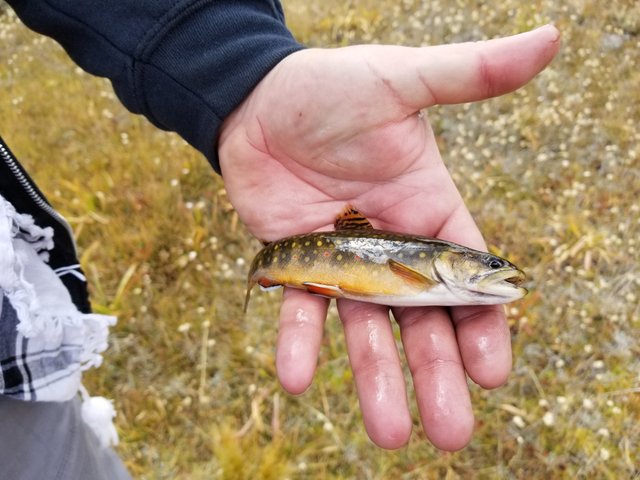 Catch and release
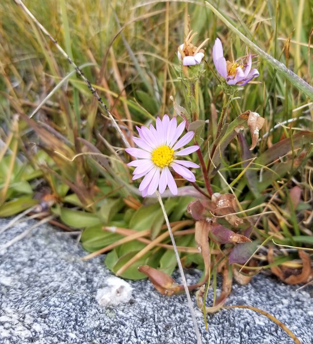
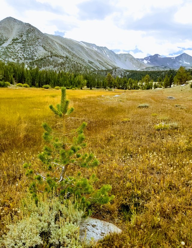
The meadow has myriads of plants, tiny bouquets that merge into a sweeping colorfield.
Although there is a lovely campground here at Baker Creek, we decided to head back down the mountain and get a comfy room for the night.
Thanks so much for joining us on this installment of our Eastern Sierras trip! Stay tuned for next time, when we fish Owens River and visit the Ancient Bristlecone Pine Forest!
Love,cat
@creationofcare

Very beautiful pics!
Thanks! Nature showed off her best <3
@tipu curate
Upvoted 👌 (Mana: 3/4)