My Tetulia upazila all history
Location and volume
Tentulia Upazila is situated between 26 ° 24 'and 26 ° 36' north latitudes and between 8 ° 20 'and 8 ২ 32' east longitudes. West Bengal of India to the north, south and west, Panchagarh Sadar upazila to the east. The area of Tentulia is 189.12 sq km
Administrative area
There are seven unions in Tentulia upazila. The unions are: 1;no:Banglabandha Union,2:no: Tirnihat Union,3:no Tetulia Union, 4,no Shalbahan Union, 5,no: Buraburi Union,6, noBhajanpur Union,7, no, and Devnagar Union
History
This upazila is one of the oldest thanas of Bangladesh. During the British rule this thana was under Jalpaiguri in India. [3] Administration Tentulia Thana was established in 1857 and it was turned into an upazila in 1993. Tentulia consists of 8 unions and 242 villages.
Demographics
A total of 1,24,043 people, 61,224 women and 72,619 men. Indigenous people like Santal, Rajbangshi etc. live in this upazila.
Economy
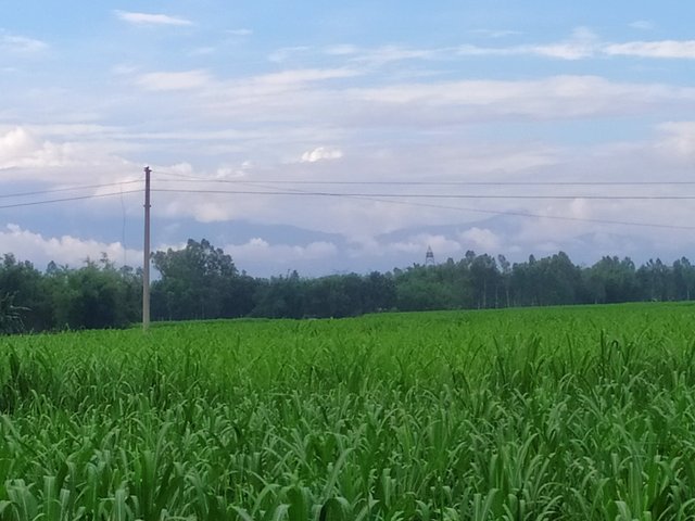
Main crops Paddy, jute, wheat, sugarcane, potato, garlic, vegetables.
Extinct or nearly extinct crops Kaun, barley, mustard, sweet potato, arahar, linseed.
Main fruits Mango, blackberry, jackfruit, litchi, watermelon, papaya, pineapple, orange.
Main exports Watermelon, pineapple, jackfruit, papaya, garlic, stone, tea.
Main sources of income Agriculture 71.62%, non-agricultural labor 18.01%, business 8.64%, transport and communication 2.33%, employment 4.38%, construction 0.47%, religious services 0.09%, Rent and remittance 0.09% and others 6.08%.
Natural resources Glass sand, boulder stone, chip stone, gravel.
Sources of drinking water Tube well 61.24%, pond 0.61%, tap 0.49% and others 16.48%.
Healthcare
Health centers Upazila health complex 1, family welfare center 8, satellite clinic 3.
Entertainment
Cultural organizations Club 18, library 1, Sangeet Niketan 1, cinema hall 1, theater group 1.
Educational Institutions
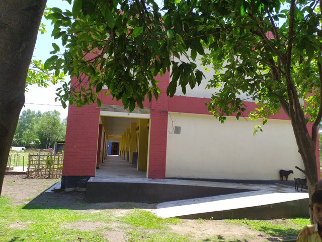
Literacy rate among the town people is 39%; Males constitute 44.1% of the population and females 33.5%. Educational institutions: college 4 t, secondary school 26 t, primary school 8 t, kindergarten 3, madrasa 11 t

Religious Institutions
Mosque 120
Temple 3
Churches 1
Rivers
There are about 5 rivers in Tentulia upazila. The rivers are Karatoya, Gobra, Dahuk, Berang and Mahananda.
Ancient monuments and places of interest
Tentulia Picnic Corner
Dahuk Forest Dining Center
Raushanpur Ananddhara and Tea Garden
Tourists at Banglabandha Zero Point
Banglabandha Zero Point and Land Port
A fragment of a fort at Buraburi between Bhajanpur and Tetulia
Bhadreshwar Temple, Shiva Temple and two tombs built in the style of Greek sculpture.
Kanchenjunga mountain can be seen standing on the bank of the river Mahananda, which has crossed the
nice
nice
Nice