SLC S22W3 Performing a Simple Spatial Analysis
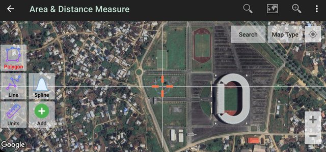 Satellite view of the Godswill Akpabio International Stadium - UTM Geo Map
Its a beautiful day here, and I wish you are having a wonderful day. You are welcome to my blog!
Today, it is "infomapgraphics" an unofficial word I coined after going through the lesson.
As I was reading through the lesson, I already had a clear picture of my spot, the Godswill Akpabio International Stadium international stadium located in Uyo, AkwaIbom State.
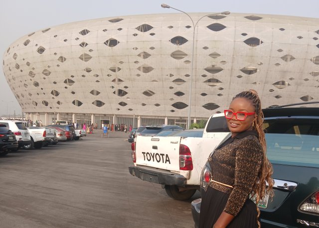 At the Godswill Akpabio International Stadium

Go anywhere you want: River, square, shopping mall, park, residential area or anywhere you want and:

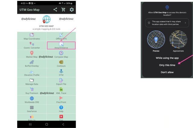
Upon arriving at the location, I turned on the UTM Geo Map and it launched into this screen. When I selected the Area/distance option, I was greeted by this dialogue box, which I selected Only this time
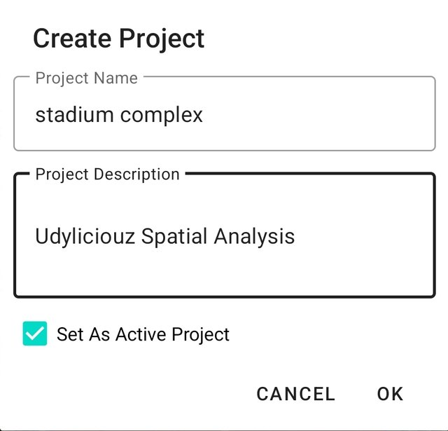
I created a project for my work and named it Stadium Complex.
I now wanted the app to track my location. This required that I select the current location using the butten at the top right.
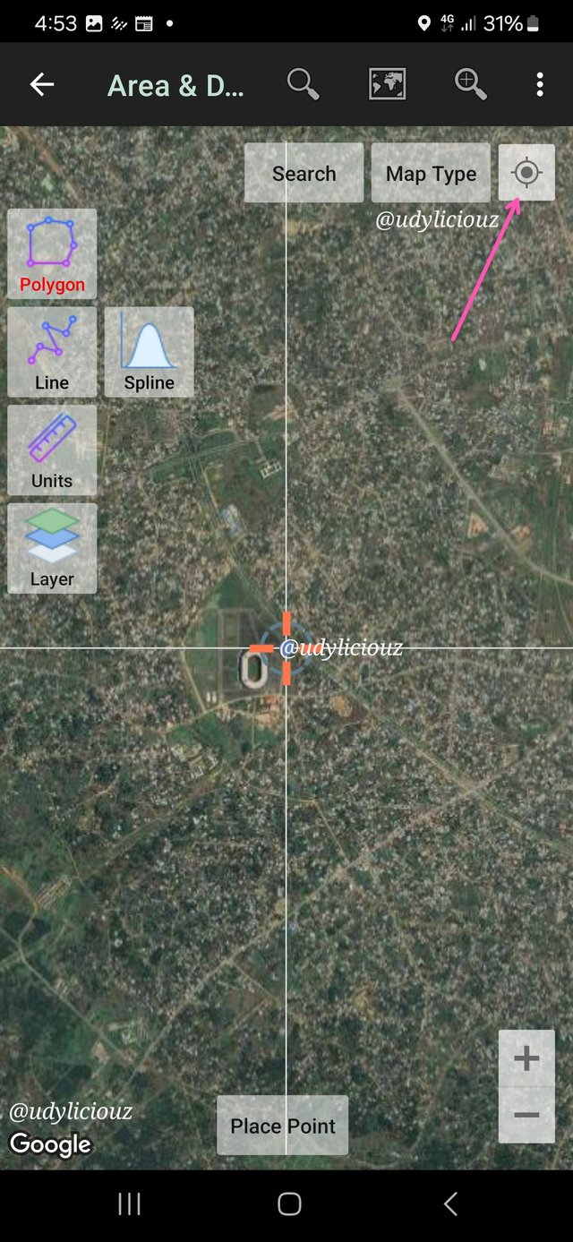
- Make a polygon and trace the main roads near that site.
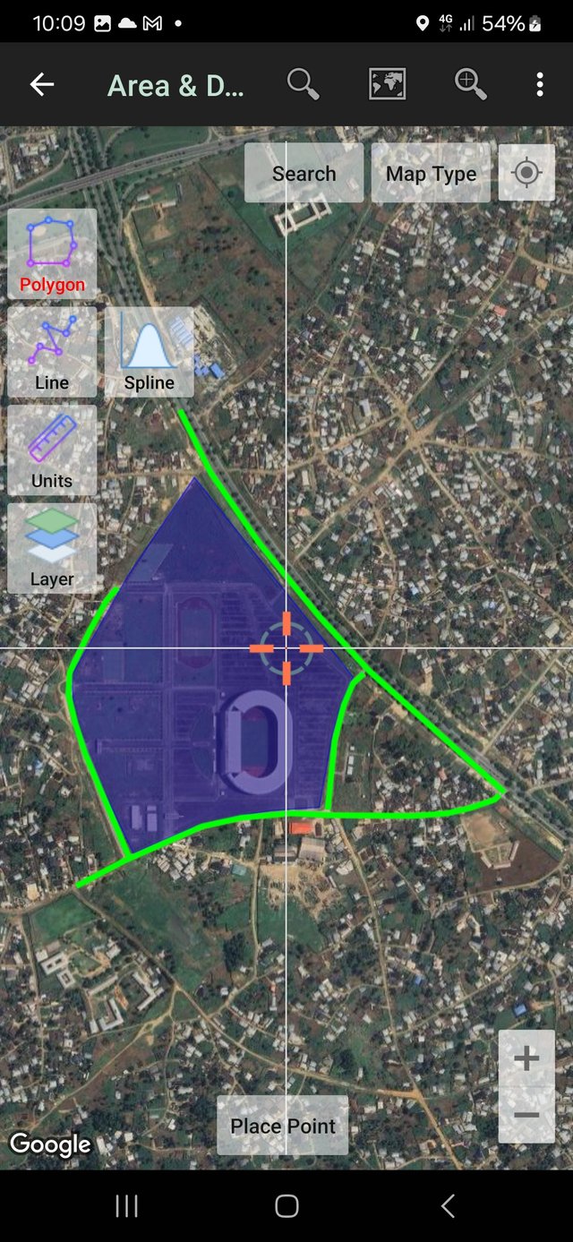
Using my current position as the starting point, I selected the polygon tool and started mapping out the stadium.
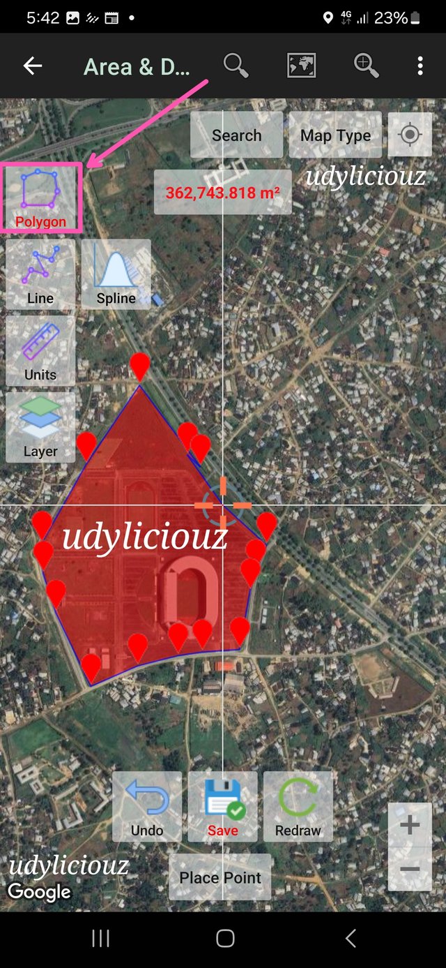
I then used the save button and named the area Stadium. It was now time to trace the roads around the stadium using the line tool.
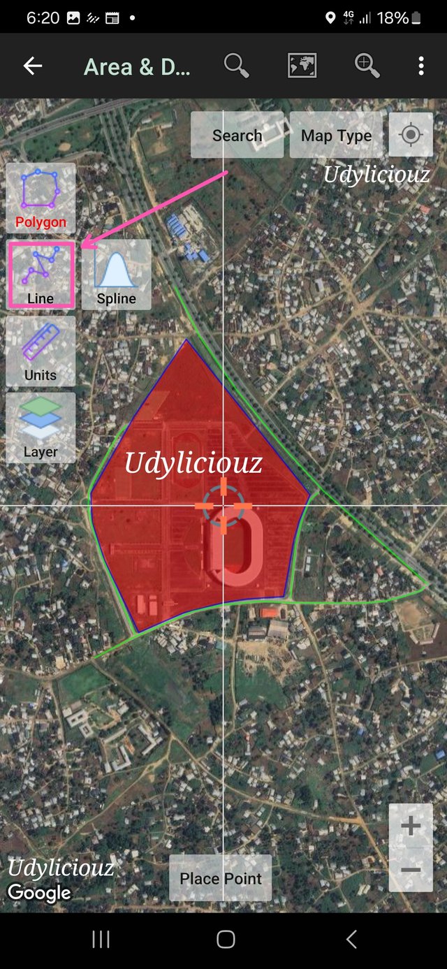
Using the line tool, I was able to trace four roads around the stadium.
I saved the roads as
- Ring Road 3.
- VIP Entrance.
- Side Access Road
- Rear Access Road.
Then I changed the colour of the roads from blue to green.
2.Al time you create the polygon, at the top, the area in hectares (ha) appears and when you trace the road, the distance appears in meters (m). What is the surface of the polygon you created and how many meters is the road you traced?
I noticed that the 15 point polygon gave me the area stadium and its surrounding facilities, like the car parks and other smaller pitches. This showed that the stadium was sitting on a total of 362,743m²
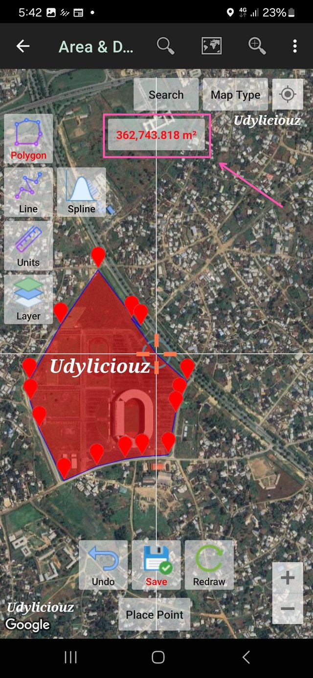
362,743.818m² converted to hectares will mean dividing it by 10,000
362,743.818 ÷ 10,000 = 36.27 hectares of land
Traced Road Information.
To get information on the traced roads around the stadium. I selected the road, then selected Data Properties.
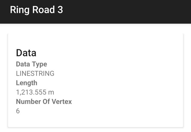
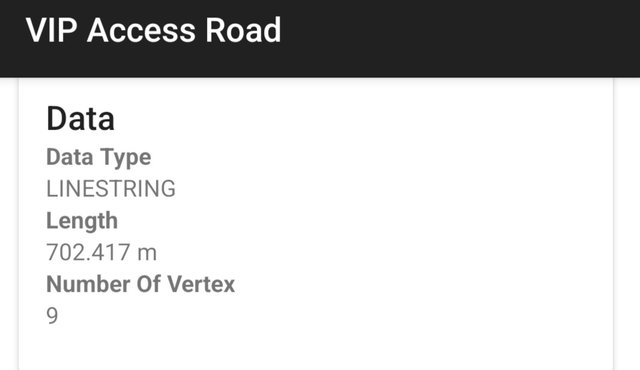
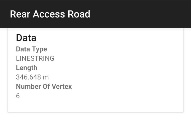
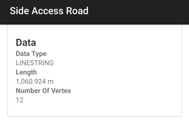
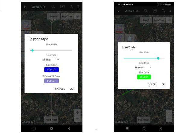
- Customize both the polygon and the roadway by assigning color, line width, and appearance. Everything to your liking
The polygon colour has been changed to purple, and its outline thickness has been reduced.
The purple still has some transparency so that the features can still be seen.
The roads are green and its line width is a lot thicker compared to the default.
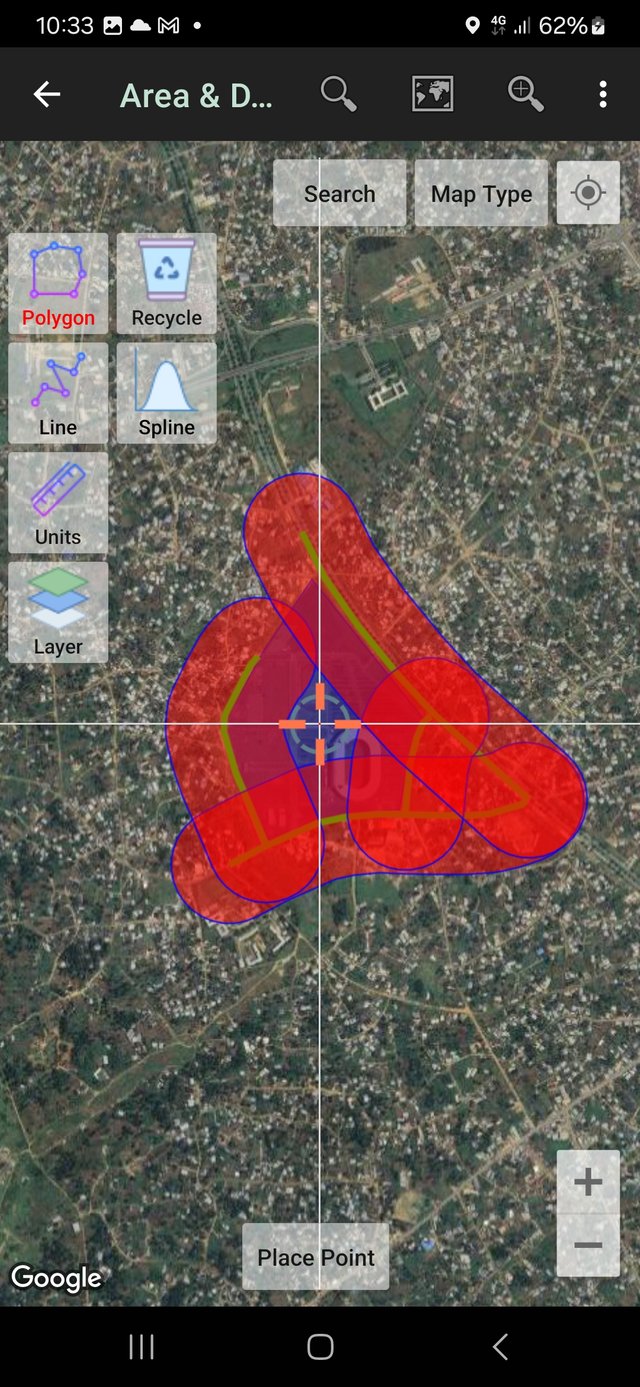
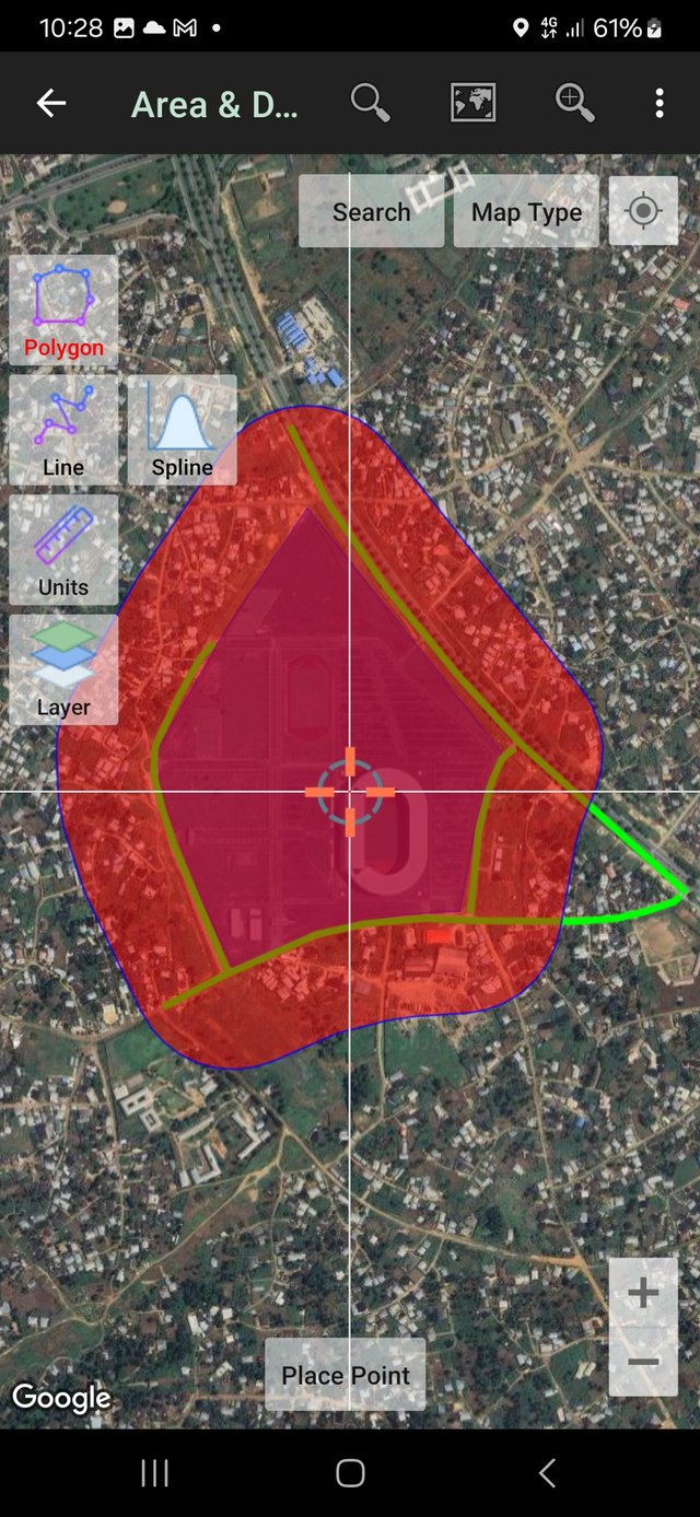
[4]. Create a 200-meter buffer.
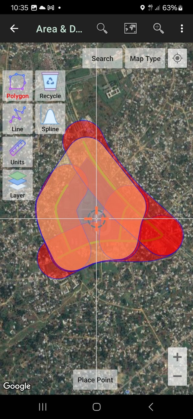
Responds:
[1] Why did you choose that place and what things does it have around it?
I choose this location because it is an iconic location in landmarks of AkwaIbom state. And the stadium will be easy to locate.
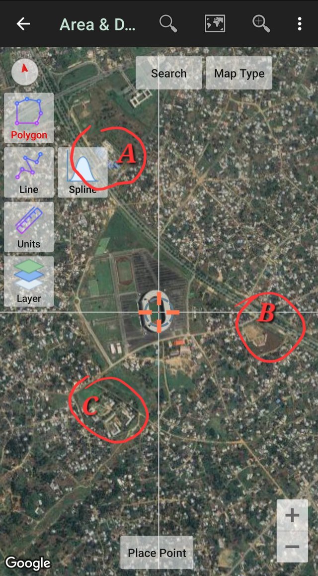
Around the stadium, it is located along Ring road 3, between [A]Julius Berger Construction Company, [B] the Government Primary School, Etoi and [C] Redemption Academy, Obio Etoi
[2] Is it easy to get there? How can it be accessed?
Yes it is easy to access it and here is the coordinate for the location
https://maps.app.goo.gl/vLRzFow1j8LFtnEZA
Plus code: 2V4M+FX Uyo
The place is accessable by road. From the city center at Ibom piazza, Abak road stright to ring road 3
[3] Looking at the buffer you created, how would you define its area of influence? that is: Is it a good commercial or residential area? Is it near an area with vegetation? Is it a very busy area?
Analyze everything inside your Buffer within your perspective and point of view.
It is located in a densely populated area with a small area reserved for vergitation. It would be best described as a residential area
[4] .Export the project to kml and share it with me on my telegram SoyWilfredG
I am inviting @okere-blessing, @esthyfashion and @dequeen to participate in this contest.