SLC S22W1 / Digital Cartography Basics
Where is your atlas? My secondary school geography teacher will trash the hell out of you if you don't have one; there is no geography student without an atlas, because the coordinates, the equator, and other curves, and also the places where natural resources are located in different regions that were taught in high school, were made visible through the atlas.
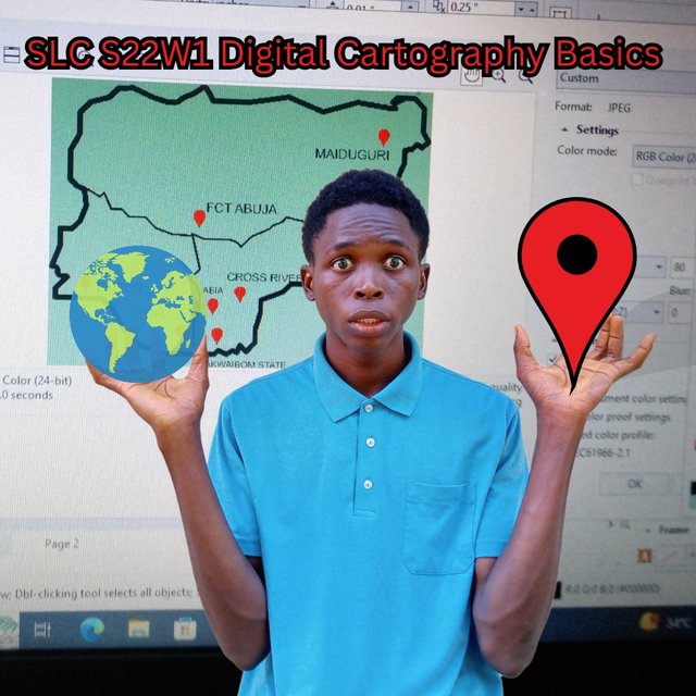
I am glad to be participating in this course today; tracking lost devices and my understanding of the region and their resources will be made very easy.
Free hand sketch of my country's Map citing the capital city and my state of residence |
|---|
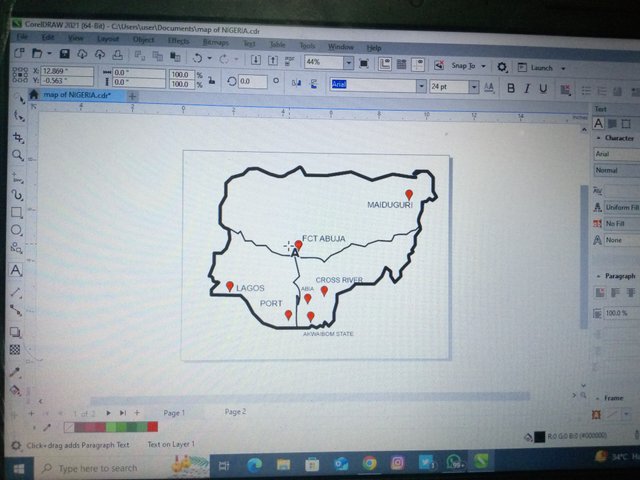
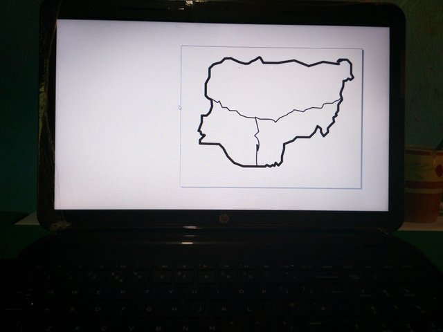
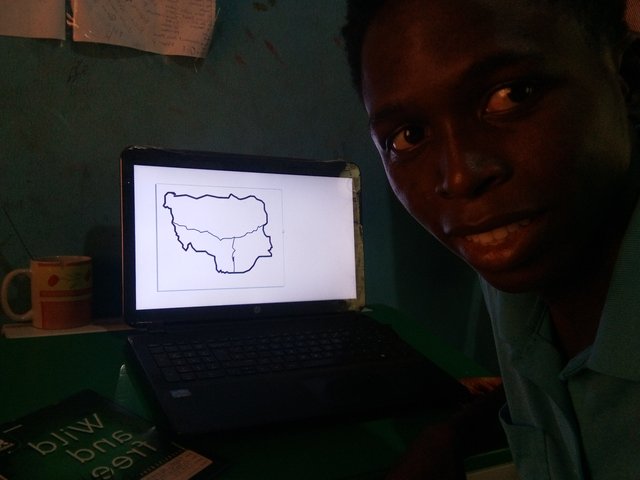
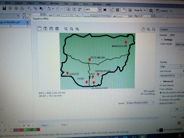
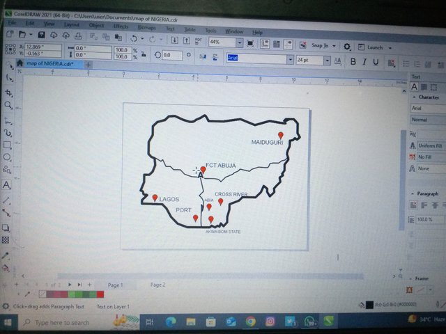
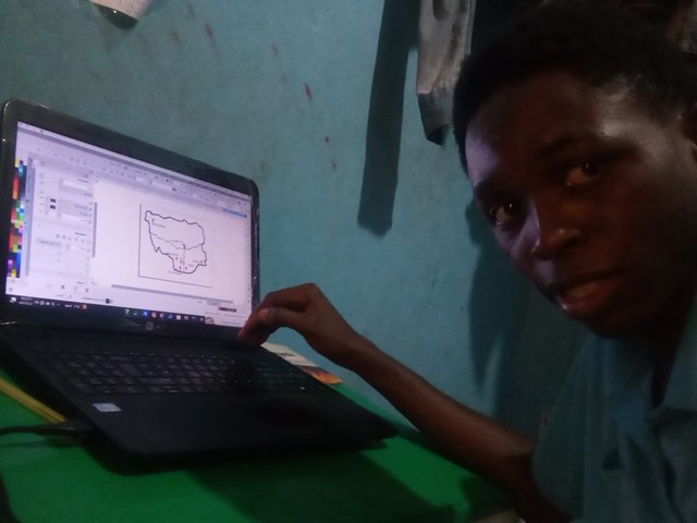
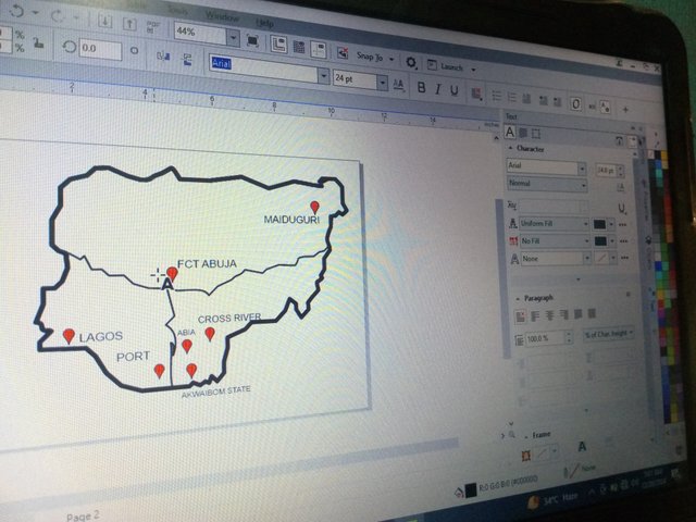
If you are not familiar with your country map, it is either you were not in geography, you are not based in your country, or you haven't come across it as often as you should. I am good at artwork, so I had a picture of my country's map in my head, even though the border may not be rightly curved as it should be. I am sure the next person familiar with this map will quickly identify this as the Nigerian map. I can trace neatly on a piece of paper, but since I desire to become an expert in Corel Draw operation, I chose to use my system for this practice. It was easy, and you can see it required focus to get to at least this point. I also made something that looks like a location symbol to show my country's capital, which is FCT Abuja, and my province, which is Akwa Ibom State.
 |
|---|
 |
 |
 |
Places I know by Heart |
|---|
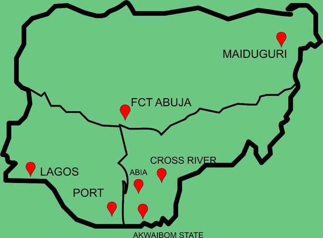
There are some locations I can locate even if I wake up from a dream, and that is because they are popular for certain events. I will be placing the location sign I designed for easy detection.
Lagos, I mean, which Nigerian doesn't know this place; this place has once been the capital of Nigeria, and it is the most popular city in Nigeria.
Akwa Ibom state, aside from being my province, is where I reside, so I can locate that with ease on the map. It is at the central bottom of the map.
The country's capital is another place I can point out very easily because it is situated in the centre of the map; the centre of the Y-axis seen on this map is where FCT ABUJA is situated.
I also know other states that surround my state, but not all. I know ABIA, popularly known by one of its largest markets in Nigeria, aria aria market; after locating my state, ABIA is a very small state above my state.
Beside ABIA on the right links to the edge of the map; we have the CROSS RIVER STATE, the state from which my state was derived/separated.
Lastly, MAIDUGURI, after drawing the map of Nigeria, we normally make a little map in the top right corner, and we label it Lake Chad; we are so familiar with this lake, and so is the state close to it, and that is Maiduguri.
I have also been to PORT HARCOURT, Rivers State, and I know this region too, very popular for the distribution of electricity/bills in Nigeria.
Mention 3 places in your country that you still don't know and that you would love to visit and why. |
|---|
I can recite the 36 states and capitals, but I can't locate them all. I would say that I know the coordinates of most of these states, but I can't tell where exactly they are or have even been there once. Bornu, Katsina, and Plateau State are the places I can tell where they are sited on the map. I travelled to Enugu at age 7 for a medical doctor's wedding and Portharcourt at 19 while seeking admission into medical school. I have been to Anambra for my boss's mother's burial and to ABIA State, but there is this state that I long to be in, and that is Lagos, Cross River, and Abuja. I desire to be here and explore places there.
What is a map for you? |
|---|
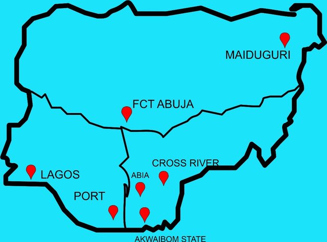
On a map, you can always see houses without roofs and forests without trees, so what can be said about this?
I would define a MAP as a structural representation of terrains and their geographic information.
In your opinion, what are the most relevant elements to understand a map and why? |
|---|
Relevant elements in a map define a terrain more; they are
Scale, the scale like what we have in the graph, tells us measurement on the map and their real-time measurement on the ground.
Title: Depending on how the map is scaled to either large or smaller, the title can be picked from there. This title defines what kind of map it is, whether it is a country's map or a state.
Labels: This label enables us to identify renowned features on the maps, like mountains, rivers, oceans, forests, etc.
Conventional signs are generally accepted signs used to identify a place or anywhere in the world. A hospital, for instance, may be given a sign of a red cross, and that is accepted everywhere.
In your opinion, is cartography important or not so important? Why? |
|---|
 |  |
|---|
Since cartography deals with the creation and study of maps, a wider range of purposes are found in it, and these purposes show how important it is.
In travelling, it helps you compare distances and enables you to keep track of important places where you need to have a glance.
Urban Planning: As I said earlier, it is used for terrain examination and to know the proper places for siting infrastructure.
In the military, it helps to discover routes and where to attack the enemy.
History is preserved with the knowledge of cartography; places where certain events occur or maybe a point of discovery of mineral resources can be marked on a map for reference purposes.
I know the concepts are broad but if possible I would to see entries from @ninapenda @dwings @bossj23 and @max-pro
Hola nsijoro, éxitos en esta tarea.
Verificado en: 20-12-2024
Excelente publicación amigo y te quedó especial el mapa de tu país en dicha aplicación digital con todas sus implicaciones. Éxitos.
Thank you so much for stopping by, I am sure you have made your own publication, you can share the link here, so as it appear as notification, I will stop by nevertheless.
I love your creative drawing. From your map, I can see that you have traveled to just a few places in the country. Good to see that you know your county's map.
All the best my dear!
x promotion link
https://x.com/nsijoro/status/1871104721626468470