Travelers Peak
I continued my desert peakbagging last weekend with Travelers Peak at the southern tip of the Santa Rosa Mountains. I drove a mile up the rough Calcite Mine Road to a turnaround point before I started hiking. The first part of the hike follows a dirt road to the Calcite Mine. Slot canyons and broken terrain lined both sides of the road. There is a good use trail above the Calcite Mine that follows one of the south ridges toward the peak. Brush and cactus were almost nowhere to be found in this barren landscape.
Travelers Peak from the highway
Rock formations just above the mine
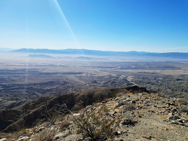
The ridge got tougher as I climbed higher. The ground was loose and crumbly, with some scrambling required going up and over several bumps. The crux was on a 20' section of class 2 scrambling on a knife edge where every hold had to be tested. After that, it was only a short distance to the summit. On top was a USGS benchmark and great 360 views of the Santa Rosa range to the north and the Salton Sea to the east. Badlands stretched out in other directions. The register cans held two books, the oldest from 1979 and started with Wes Shelburg. I took my time enjoying the summit, then started down. It took about the same time to get down as to ascend. Travelers was a true desert gem. 4.8 miles round trip, 2300' gain, 4 hours.

Santa Rosa mountains to the north
On the way down