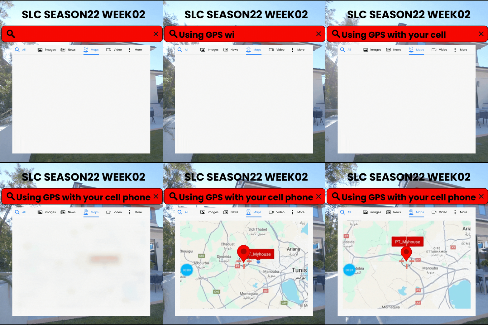
SLC S22W2 / Using GPS with your cell phone

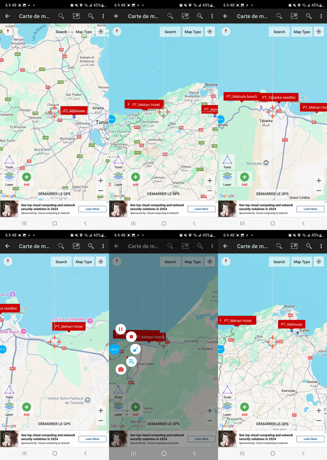
Create a new project in the UTM Geomaps application with a name and description
I had never used this application before, but after downloading it from the Play Store, I discovered an intuitive and user-friendly interface, followed the instructions to create a new project and named it "kouba01", with the following description: "Spot locations", I also activated the option "Set as active project" in order to simplify the management of data and points that I intended to record.
 |  |  |
|---|
 |  |
|---|
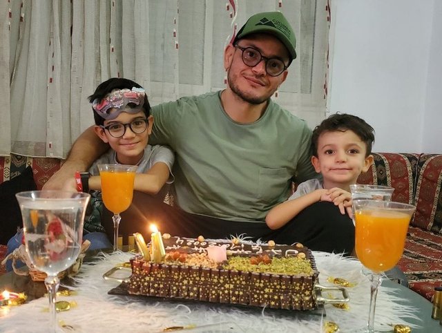
Take at least 4 points (on offline GPS) of places of your choice (they can be stores, squares, shopping centers, cafes, parks, museums, schools, whatever you prefer) and at each point you take, you must additionally take a photograph with your phone (If possible, you must appear in at least 2 of the photographs in those places)
I have traveled to several places that are significant to me and recorded their coordinates using the GPS feature without connection, here are the details of the points recorded.
 |  |  |
|---|
Point 1: My house in Oued Ellil

This is the place where I currently live with my family, it is a place which represents stability and daily family life, I wanted to start with this point because it constitutes my personal and geographical reference.
- Recorded contact details:
- Latitude/Longitude: 36.842651, 10.044678
- UTM: 593143.984E 4077926.592N
- Address: R2RV+XPX, Oued Ellil, Tunisia
Point 2: Hotel Mehari in Tabarka

- Recorded contact details:
- Latitude/Longitude: 36.952652, 8.783197
- UTM: 480697.771E 4089641.943N
- Address: XQ2J+VP, Tabarka, Tunisia
Point 3: The Needles of Tabarka

This iconic natural site is one of the jewels of Tabarka, the rock formations, called "The Needles", are spectacular and rise directly from the sea, this place inspires me and reminds me of the raw beauty of nature.
- Recorded contact details:
- Latitude/Longitude: 36.957412, 8.754632
- UTM: 478392.512E 4089632.229N
Point 4: Maloula Mountain

- Recorded coordinates:
- Latitude/Longitude: 36.961488, 8.723928
- UTM: 475423.766E 4090635.769N
- Address: P7, Tabarka, Tunisia
Export the points you took and share them with me on my telegram, my username is @SoyWilfredG You must send me the KML file + your username, so I know who it is.
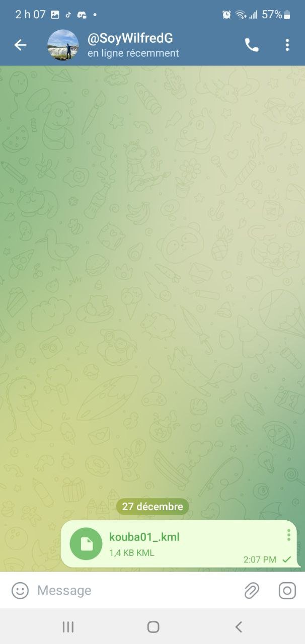
After taking these points, I exported the data in KML format by following the instructions, I also shared these files through Telegram with @SoyWilfredG.
 |  |
|---|
Why did you choose those places? Do they represent something important to you or is it just a place you were in?
I chose these places because they occupy an important place in my life and represent different aspects of my personal experiences, my home in Oued Ellil is the focal point of my daily life, a refuge where I share precious moments with my family, it symbolizes the stability and the family environment which accompanies me in my daily life, the Mehari hotel in Tabarka, on the other hand, is associated with pleasant vacation memories, this place is for me an escape from the stress of everyday life, where I can relax and enjoying simple pleasures, such as the sea and the tranquility offered by this environment, each stay at the Mehari hotel strengthens my attachment to Tabarka and its cultural and natural wealth.
The Aiguilles de Tabarka and the Maloula mountain represent for me the raw beauty of nature, the iconic rock formations of the Aiguilles inspire me with their majesty and uniqueness, they are a constant reminder of the power of nature and its role central in my life, the mountain of Maloula, with its breathtaking view of the Mediterranean, is a place of serenity and reflection, where I can escape from the tumult of daily life, these places evoke both the amazement of nature and the importance of preserving these treasures for future generations, they embody my deep connection with my environment and my constant quest for beauty and peace.


In your opinion, is it important to know how to use a GPS? Why?
In my opinion, knowing how to use a GPS is essential in the modern world, because this tool offers many practical advantages, above all it allows you to easily find your way in unknown places, which is particularly useful when traveling or exploring, in addition to facilitating navigation, a GPS allows you to save points of interest, such as remarkable places or important places, to be able to return to them later, this can also be very useful for sharing these locations with other people , thus avoiding any confusion during an appointment or a visit.
One of the great advantages of a GPS is also its use in offline mode, in areas where access to the Internet is limited, such as in the wilderness or in isolated regions, a GPS remains operational and precise, this functionality is particularly valuable for travelers, hikers and professionals who work in the field, such as geographers or engineers.
Now that you know how to use a GPS, in what circumstances do you plan to use it?
Now that I have mastered the use of GPS with this application, I plan to integrate it into my professional activities as a computer science teacher, while continuing to use it in my personal life, in an educational context, I would like to use GPS to expose my students to practical projects In digital cartography and geospatial data management, for example, I can organize activities during which they collect GPS points in their environment, which they then use to create maps interactive or analyze geospatial data using specialized software, which will allow them to better understand the importance of digital tools in the processing of spatial information, while developing their technical skills.
On a personal level, I will use GPS to document places linked to my centers of interest, such as natural sites or remarkable urban spaces, during my trips or trips, it will also be useful for me to mark important points and find them easily in the future, finally, I plan to introduce GPS in interdisciplinary projects, such as the cross between programming and GIS (Geographic Information Systems), in order to show my students how technology and computing can be applied to various fields such as geolocation, the environment or town planning, thanks to this skill, I can offer my students concrete applications of computing in the real world, thus helping them to better understand the opportunities that 'offers digital.
Thank you very much for reading, it's time to invite my friends @sahar78, @stream4u, @fombae to participate in this contest.
Best Regards,
@kouba01

@tipu curate
Upvoted 👌 (Mana: 5/7) Get profit votes with @tipU :)