C# ESRI REST Services example

This is code I worked on for my job. We had purchased a GIS system that for some reason did not have a built in street search program. In this example I use REST services with ESRI to grab the latitude and longitude from various inputs.

The most common input our users were going to input were intersections. So the input would look like
Street 1 St @ Street 2 St, Altanta, GA
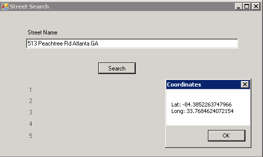
Or they would simply want to enter a street address.

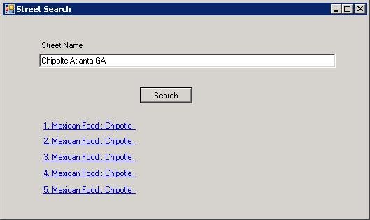
But I took it much further than that. Users could also enter just a street name and it would zoom them to the center of that street, they could enter just the city, or the user could enter a Point of Interest.

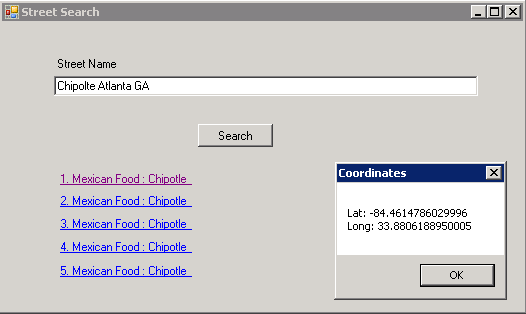
Once the list of POIs came up the user could click one and it would zoom to that location.


To download the code visit my site here
Check out my other Recent Posts!
My Intro to Steemit
Songbirds Guitar Museum presents 10,000 Days A Tribute to Tool