Temporary flight restrictions - TFR - want to know where you can't fly steemit?
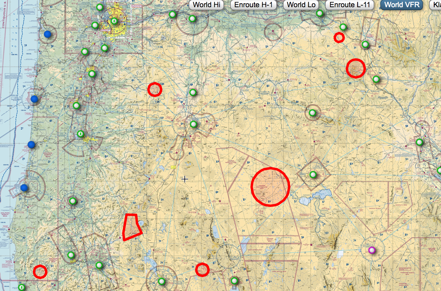
Central Oregon, Southern Oregon, and South Eastern Oregon are all experiencing a wild fire, it's cause for alarm. Pilots in the area should be aware of smoke hazards that exist and could reduce visibility below VFR Flight rules, always make yourself aware of these notams before a flight, especially if you are going toward one of these TFR's because visibility will be reducing as you move toward the wild fire. It's also important to keep in mind what the winds are doing and how that will affect the movement of wind.

TFR NOTAMS
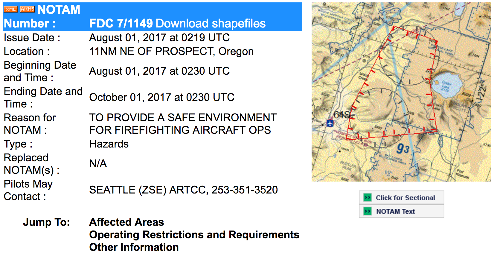
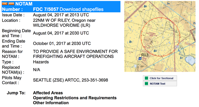
Below you will see notams for the three biggest fires closest to my home airport, KBDN. This formation can be found through Skyvector.com or pilotweb.nas.faa.gov/PilotWeb/ to see all of the information provided for each notam.


Smoke
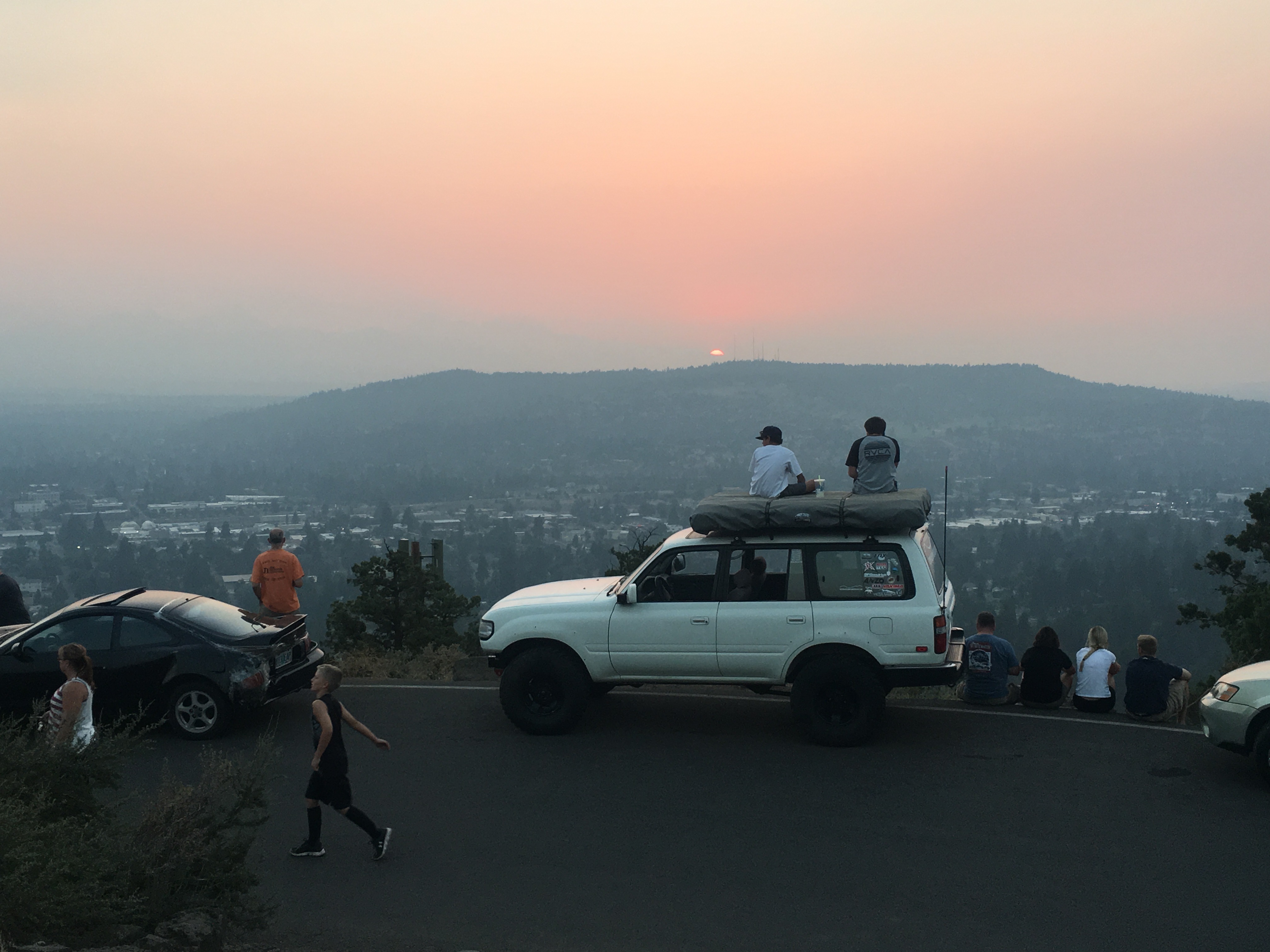
Below you can see an image of the smoke at sunset on top of Pilot Butte. The smoke was not reducing visibility below 10SM but this was about 15SM of visibility in smoke. I hope this will give you a reference if you will be flying in the local area, or in an area of severe smoke or reduced visibility. Remember to always check notams and TFR's before flying because flying into one will cause you troubles that you do not want.
As always, I hope you enjoyed this information, please Follow and Upvote to support and encourage more posts! Thanks steemit!

this is great
omodele.olumide from steemit chat
do follow and upvote
Hey thanks, I appreciate your support, upvote and followed ;)
Congratulations @flybendor! You have completed some achievement on Steemit and have been rewarded with new badge(s) :
Click on any badge to view your own Board of Honor on SteemitBoard.
For more information about SteemitBoard, click here
If you no longer want to receive notifications, reply to this comment with the word
STOP