Moyola River the most beautyfull place
Moyola River

• Kayaking time: 8 hours
• Estimated kayaking distance: 9.5 miles
• Elevation gain: None
• Topo Map: Sheets 13 (Sperrins) & 14 (Lough Neagh), Discoverer Series,
Ordnance Survey of Northern Ireland
• Special equipment: Kayak(s) and paddles, wetsuits, life-jackets, drybags
• Permit: None
Characteristics

In the early 1950s my father decided to construct a two-man canoe in which
to paddle the waters of some bucolic Irish river. I think the inspiration for
this was derived from a canoeing holiday that one of my uncles had enjoyed
on a river in southern Ireland. Indeed my father seemed to have inherited the
remains of my uncles collapsible canoe that consisted of a foldable canvas shell
within which a frame of wooden rods was to be assembled. However, we never
managed to complete this assembly and so my father decided to construct his
own canoe that would not be collapsible. It would still be canvas on a wooden
frame but a rigid rather than removable frame.

This new canoe was constructed in one of the attic rooms in our house. It
was carefully fabricated and a few test paddles were nervously but successfully
conducted in a nearby pond. After that my father’s interest waned and he
moved on to other activities. However, a year or two later, I had just begun
my lifelong adventuring with a hike over the top of Slieve Gallion (see previous
adventure). Casting around for more adventure, my friend Frank Johnston and
I decided to see how far we could float down the nearby Moyola River in the
“new” canoe.
![image.png]
( )
)
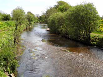
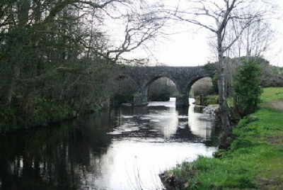
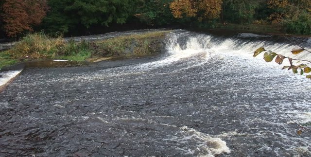
The Moyola was the only river of any size close to Magherafelt. Rising near
Mullaghturk peak in the Sperrin Mountains, the Moyola winds its way through
the rolling farmland of southeast County Derry for 27 miles before emptying into
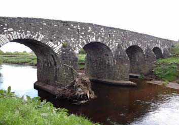
Lough Neagh. A little preliminary scouting revealed that the river upstream of
the road bridge on the Tobermore/Maghera road (at 54o47.150’N, 6o41.903’W)
was too shallow for reasonable canoeing and so we decided to put in at that
point and canoe downstream. We knew of several other road bridges further
downstream and had reconnoitered the river from those vantage points; but we
had little information on the river in between those viewpoints. Nevertheless,
with the confidence of youth, we decided that we knew enough. Therefore, in the
early summer of 1959, we began preparations for this canoeing adventure into
the unknown. What attracted me to this exploit, indeed to all the adventures
in the fifty plus years that followed, was precisely the thrill of venturing into
the unknown, of finding out what was round the next corner or over the next
hill and of meeting the challenges that revealed themselves.

Having obtained my father’s approval to use his canoe and his willingness
to deposit us at our starting point, we began collecting the gear we would
need. Food and water were obvious. But we also knew that the canvas surface
of the canoe was not particularly rugged; it could easily be penetrated if we
made contact with rocks in the shallower parts of the river. Fortunately, we
knew of adhesive and waterproof bandage tape called “Elastoplast” that my
father made valuable use of in his doctoring activities. We obtained a liberal
supply of Elastoplast from that source and set off one Saturday morning for the
Tobermore/Maghera road bridge (at 54o47.150’N, 6o41.903’W).