Trekking The Reinebrigen In Norway's Lofoten Archepilago
Hello fellow Steemians,
Today I am going to take you on a little adventure to the Lofoten archipelago in the Northwestern part of Norway. This adventure will take you the heights of the Reinebringen that overlooks the quaint little fishing village of Reine. 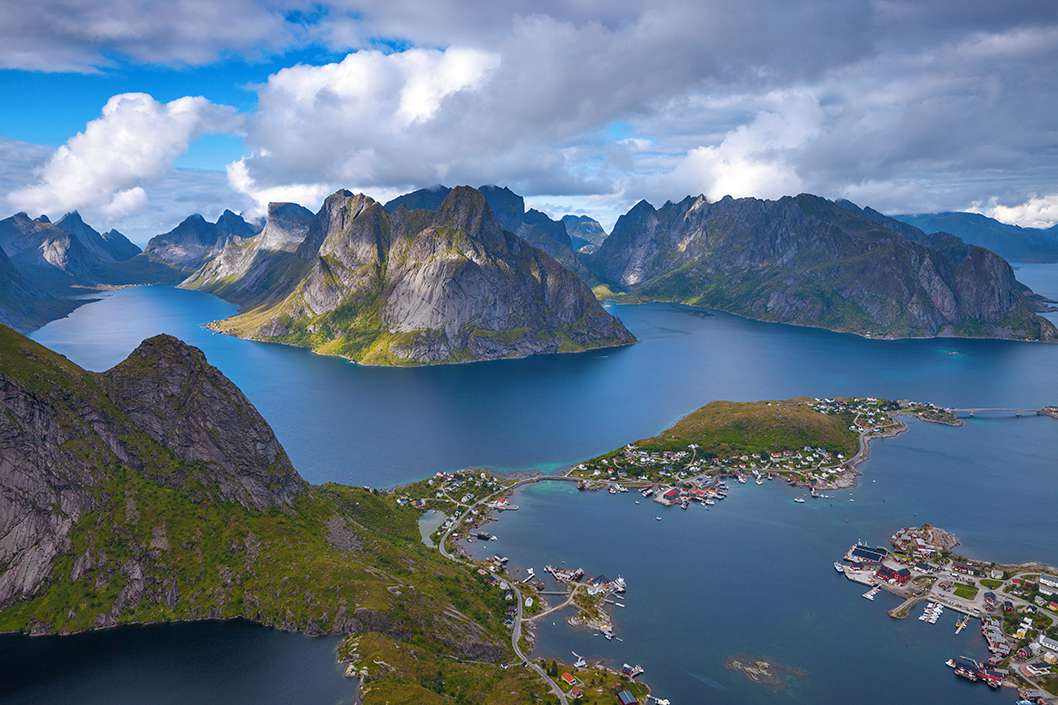
Trekking The Reinebrigen In Norway's Lofoten Archepilago
adonisabril (66) in adventure • 13 days ago
Hello fellow Steemians,
Today I am going to take you on a little adventure to the Lofoten archipelago in the Northwestern part of Norway. This adventure will take you the heights of the Reinebringen that overlooks the quaint little fishing village of Reine.
image.png
The view from Reinebringen
Reinebringen in the island of Moskenesøya is perhaps the most iconic hike from the Lofoten archipelago. It rises up 448 meters (1470 feet) straight from sea level up through peaks soaring above the clouds and a route that runs through a steep and frequently slippery terrain. While not the greatest and tallest in the Moskenesøya area, the brief hike to the top (about 2 hours) combined with the most iconic view of the fishing village of Reine, make it among the most popular hikes in Lofoten.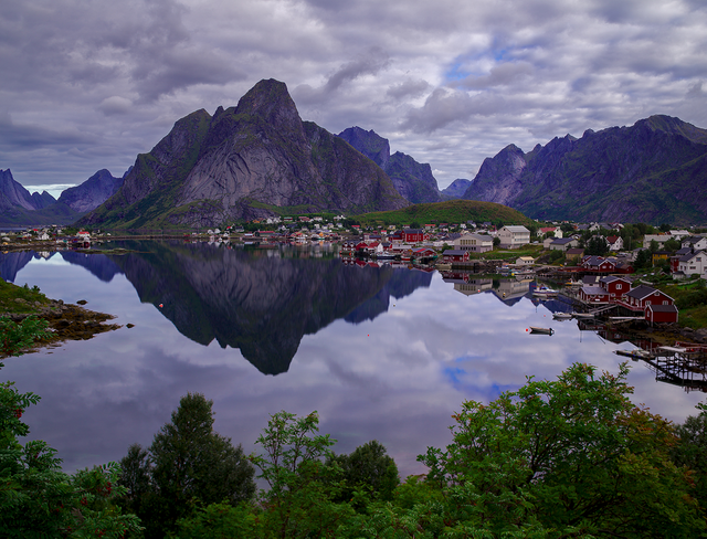
Starting from the fishing village of Reine, finding the path to the trail was a bit difficult. I asked some hikers for directions and was told to go past the tunnel on the main road from Reine and then take a right after a hundred meters. I must have walked past it a few times until I noticed that an arrow painted on the floor that directed to the bushes across the street. The trail is essentially, what remains of a dried up river that has been consumed by hikers.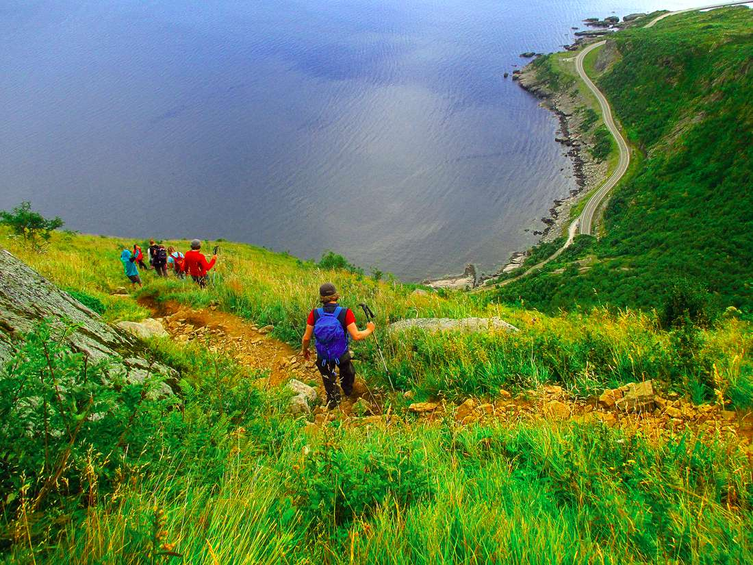
Reinebringen it on!
Calling it, a trail though is a bit generous. Some parts look like a scene of the Fangorn Forest in Lord of the Rings. I can’t help but think there were some giant spiders ready to ambush me behind the bushes. I had to pull myself up on muddy ledges and used my arms to climb up on roots of old trees that stubbornly grew on the face of the cliffs. One grave mistake and it is good-bye, see you on the other side, No Longer Wanderlust.
It’s as if you could use some help from Gandalf the Grey just to get past this section or something. Once clear of the Fangorn forest, the road gradually becomes steeper and contrasts between rocky and muddy sections. The muddy sections can get very slippery occasionally. Nevertheless, the rocky sections present another sort of challenge. If there are other hikers over you, they could trigger a rock fall since the trail has been eroded from constant use. If you drift off too far from the trail, you run the risk of falling into a deep ravine, so remain on the main trail as much as possible. 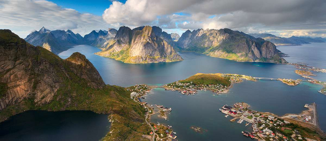
The trail will finally open up to a steep and the last rocky ascent until it flattens out to the ridge. The spectacular views over Reine finally emerge. There the views are different, with the Granite Mountains towering above a lake below with just a glimpse of the Reine. Traversing the spine up the peak where nothing to catch your fall is exhilarating.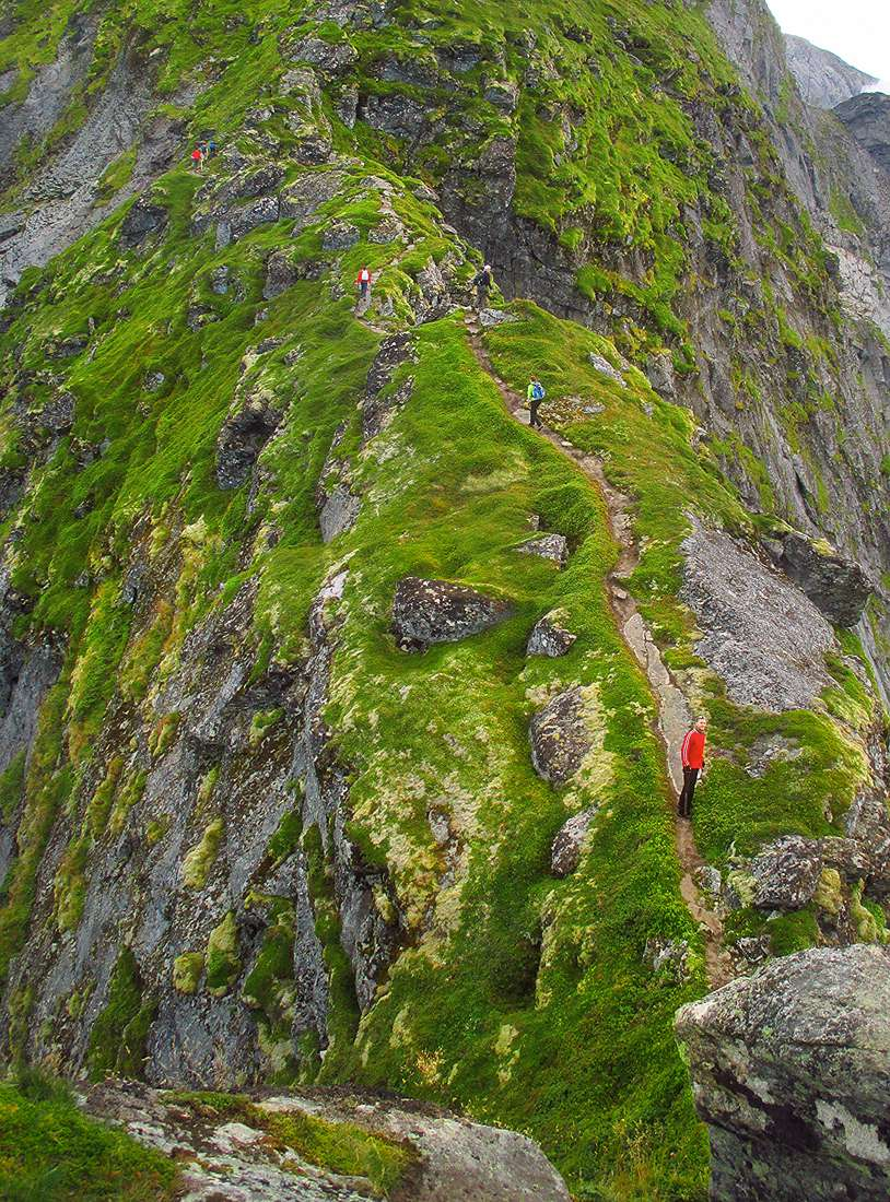 Up there, my legs began trembling from a jolt of adrenaline that was pumping through my veins. The sheer vertigo-inducing heights combined with the sketchy scrambling up steep boulders can cause bladder-draining accidents of the personal kind. Not that peeing in my pants has ever happened to me before, certainly no on this instance. I’m just saying, not from personal experience, but it is theoretically possible that my pants got wet from falling into a creek on the way up here or from sweating profusely.
Ahem. (Blushes)
Why are you smiling?
Moving on...I will mention again that this trail is short but very steep and I am not even sure anyone would believe this trail a "hike." Most would probably assert that it is a "climb." It gets worse; the trail is also becoming more and more dangerous each summer due to deterioration caused by many people perusing the trail. The continued use has led to the terrain, which is extremely steep to begin with, to become more crumbly and steep ravines have started to form. 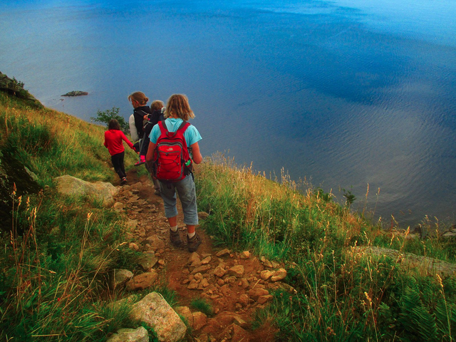
The Trail
Some places have steep sloping slabs staying that become very dangerous when wet. Because of this, some hikers have bypassed the trail and created new parallel tracks. This has caused portions of the trail to have several of furrows that encourage landslides and rock falls. Some sections are so steep some clever hikers have tied ropes to the top so that they can use it to climb back down. 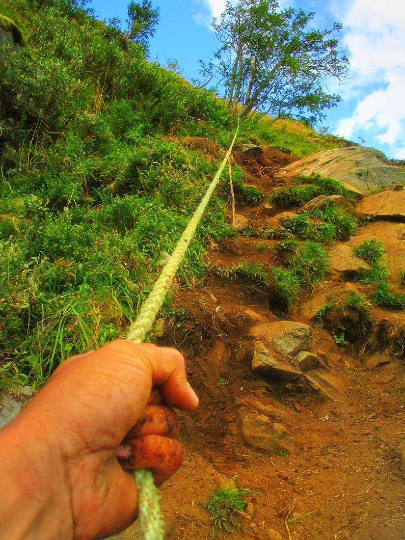
Parts of the trail require ropes
You should check your capabilities as a climber and hiker. You do not want your fear of heights kicking in in the wrong place at the wrong time. If scared of heights, there are other places to hike nearby with equally amazing views and well-maintained trails. However, if you insist, you will be rewarded with the most the most awesome panorama of the Reinefjorden and the staggering Lofoten Wall. It is among the most memorable hikes I have ever done in Europe.
HIKING THE REINBRINGEN YOURSELF
You can reach the trail just west of the fishing village of Reine if you follow the highway E10 towards the town of Å.
Just past the tunnel (Ramsvikstunnelen) and to the right you should be able to see the trail.
There are also arrows on the pathway directing you towards the trail.
It’s roughly 3-4 kilometers to the top and there are some parts where you are pulling yourself up on a rope.
Do you have fear of heights?
"Travel is fatal to prejudice, bigotry, and narrow-mindedness." - Mark Twain
All photos are taken and articles are written by Adonis Villanueva of Always Wanderlust unless otherwise stated.
SOMETHING VERY EXITING IS COMING OUT SOON - APPICS
GET UP TO 2X YOUR VOTE VALUE - https://steemfollower.com/?r=7137
GET UP TO 2X YOUR VOTE VALUE https://steemfollower.com/?r=7137
GET MORE FOLLOWERS
Twitter Page,https://twitter.com/WanderlustAV
https://discord.gg/jWWu73H
the Steemit Travellers on Discord
© 2017 AlwaysWanderlust.com All Rights Reserved
Beautiful pic and good job friend